
Exploring Burnside Archaeological Site
Together with the South Eastern Alberta Archaeological Society, I toured the Burnside Archaeological site between Medicine Hat and Redcliff, Alberta. I recorded the tour and put together the following photo-essay.
Here is the description of the site written by SEAAS member Rob Gardner:
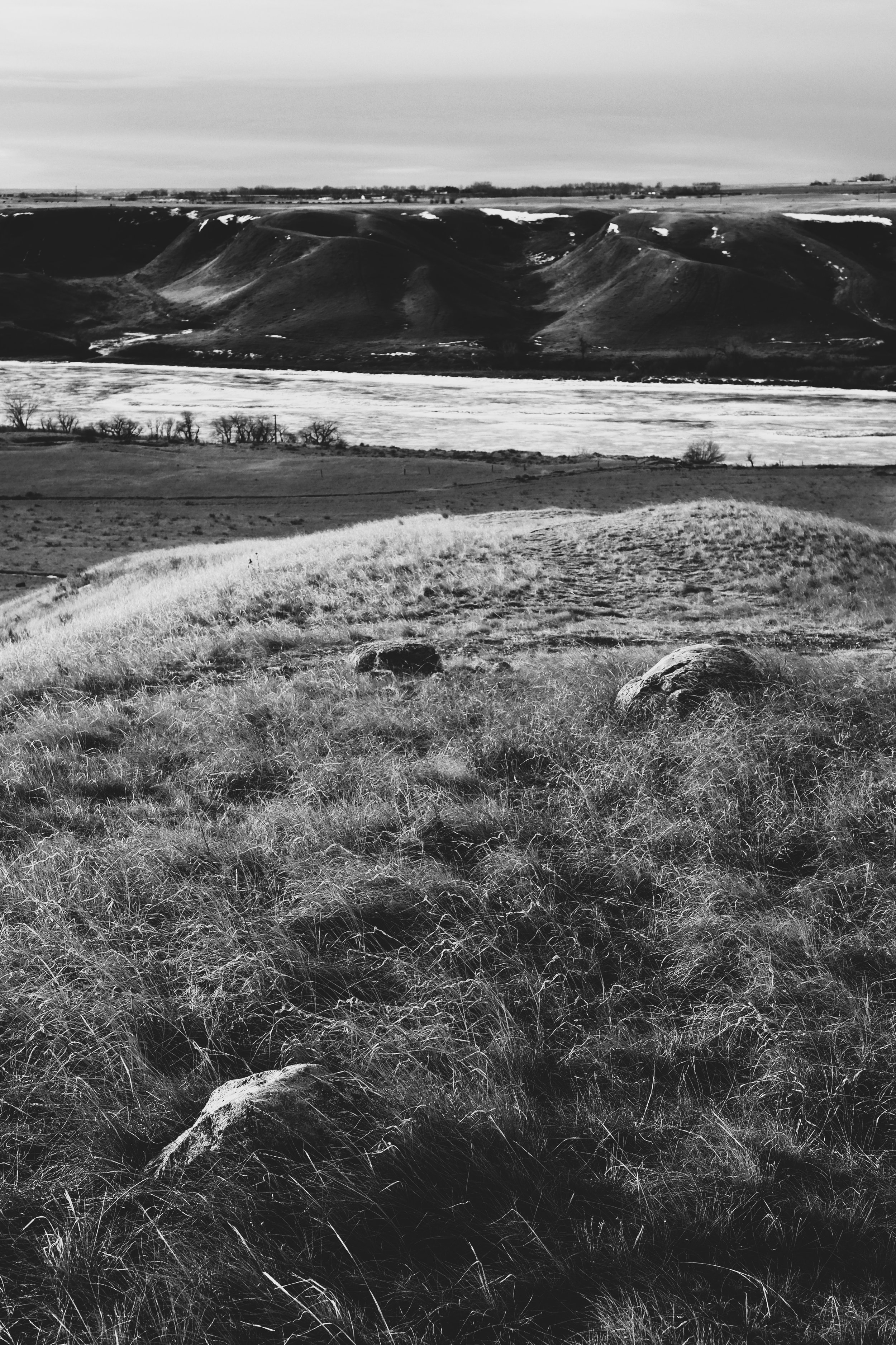
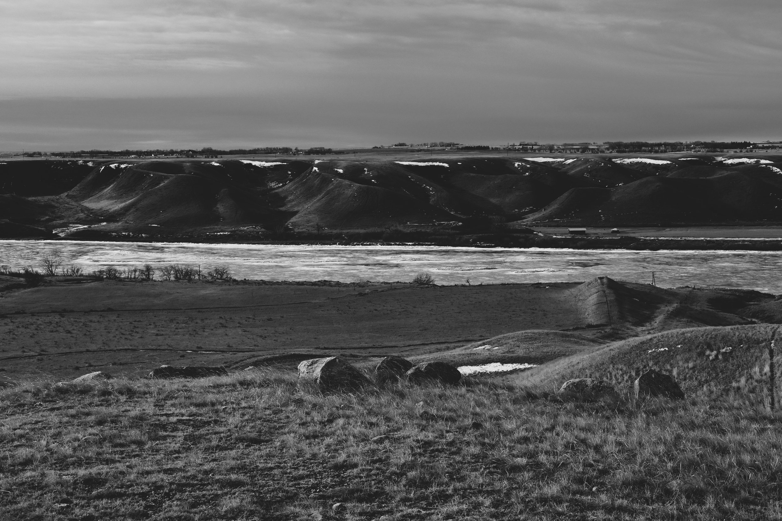
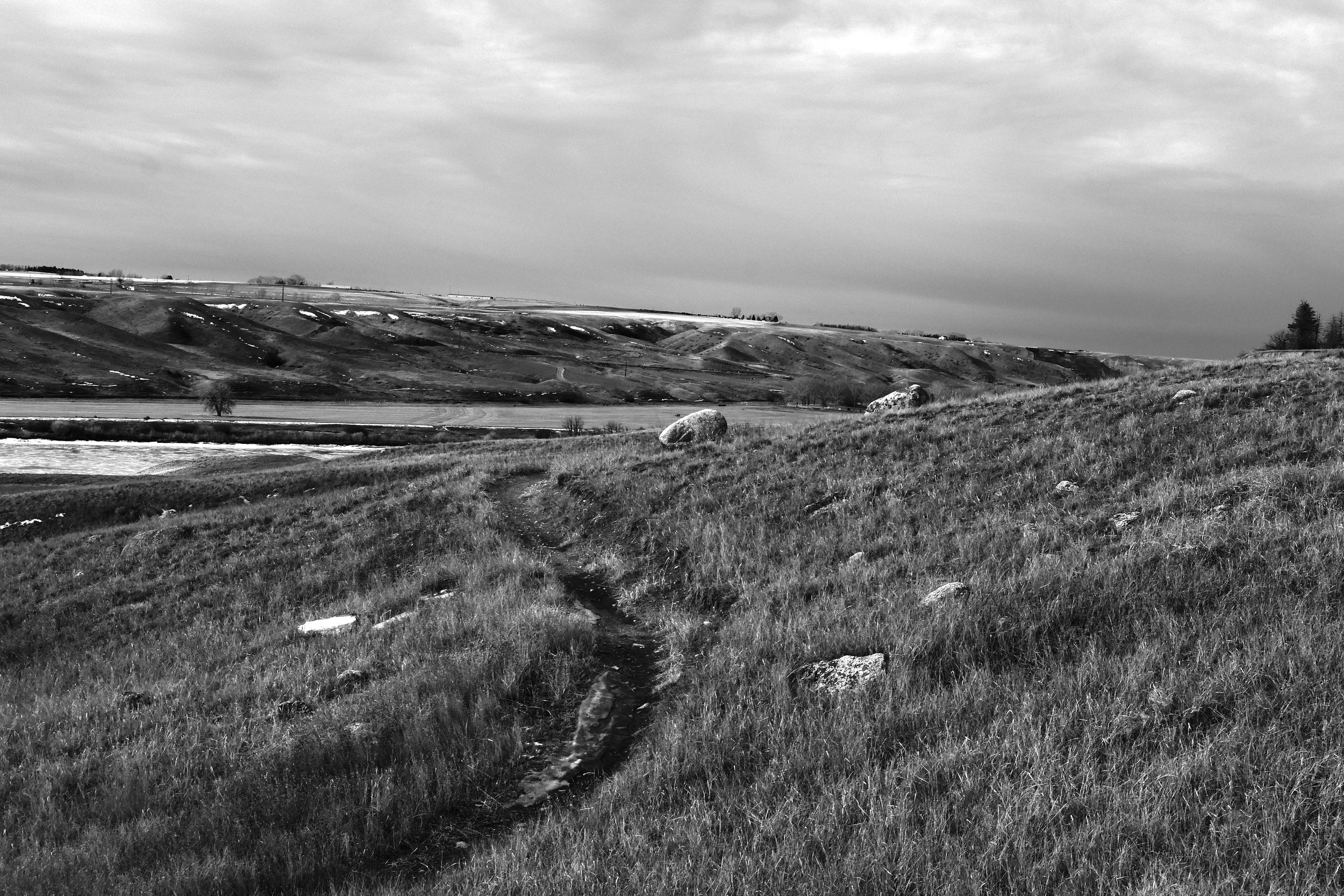
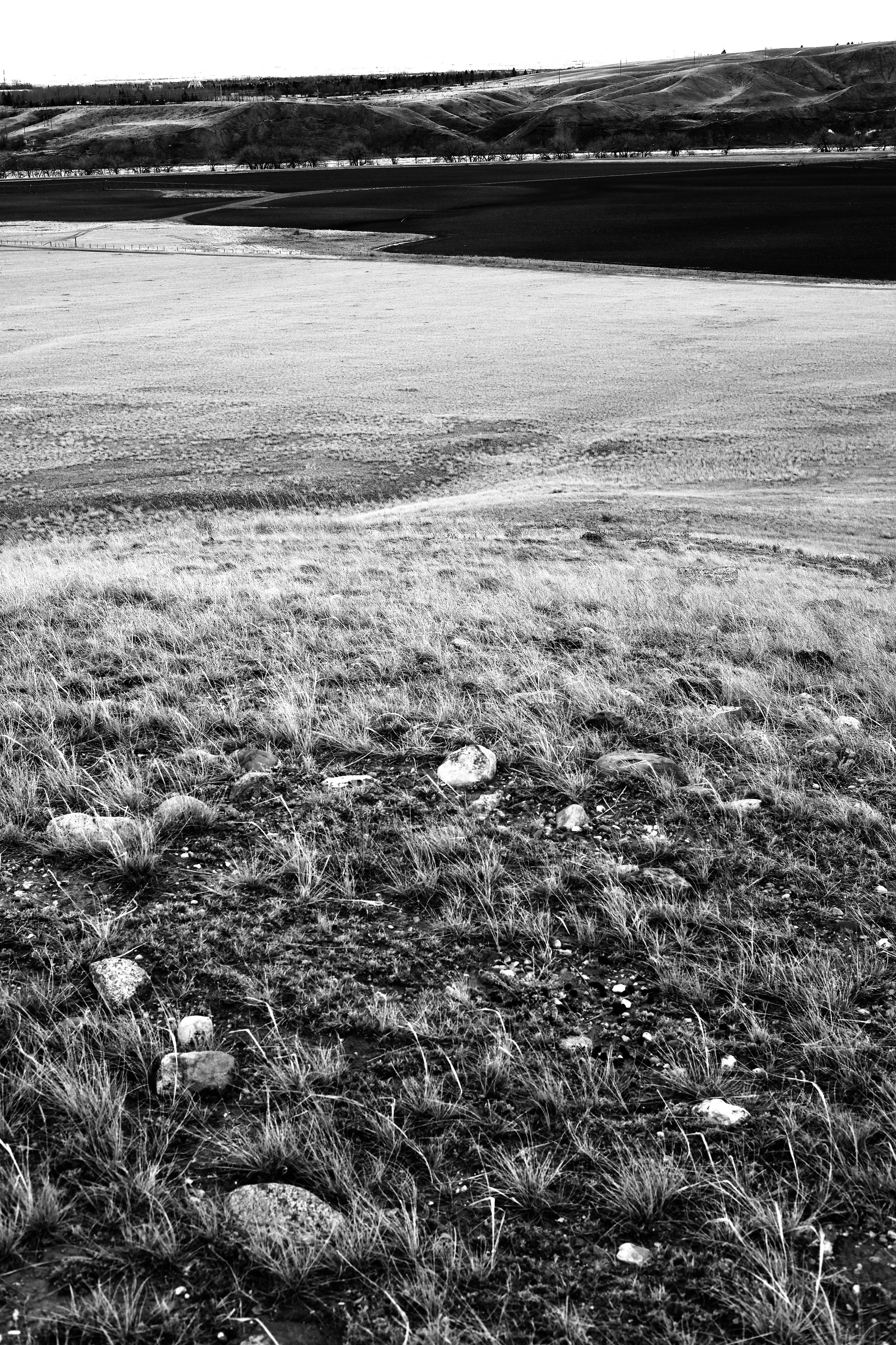
Burnside refers to the river flat and adjacent slopes on the north side of the South Saskatchewan River, between Medicine Hat and Redcliff, Alberta. In late summer of 2017, a grass fire burned about 130 acres (50 ha) of prairie in this area, increasing the visibility of several stone circles and other cultural features. Some modern infrastructure allows easy orientation on the aerial photos. In particular, the south end of Range Rd 63, also known as 23 Street NW, and the prominent mountain bike trail help locate the features.
An archaeological survey of the Burnside Ranch area in the 1960s identified several sites, with this area along the top of the slope being within EaOq-1. Much of the area was also examined during the planning of the mountain bike trails (circa 2015).
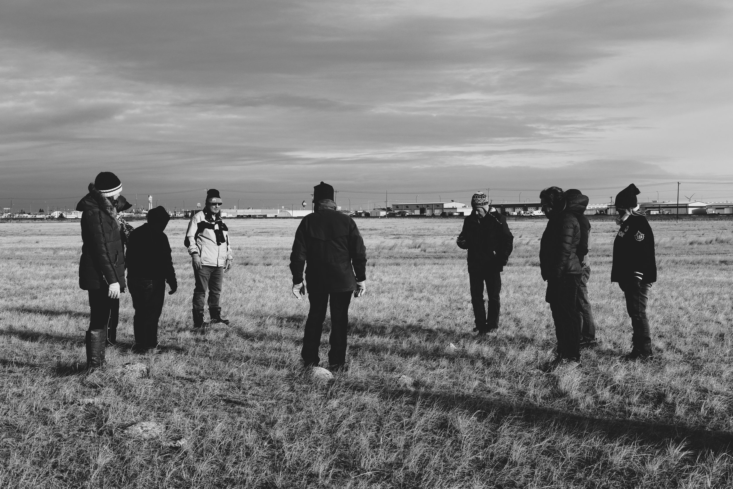
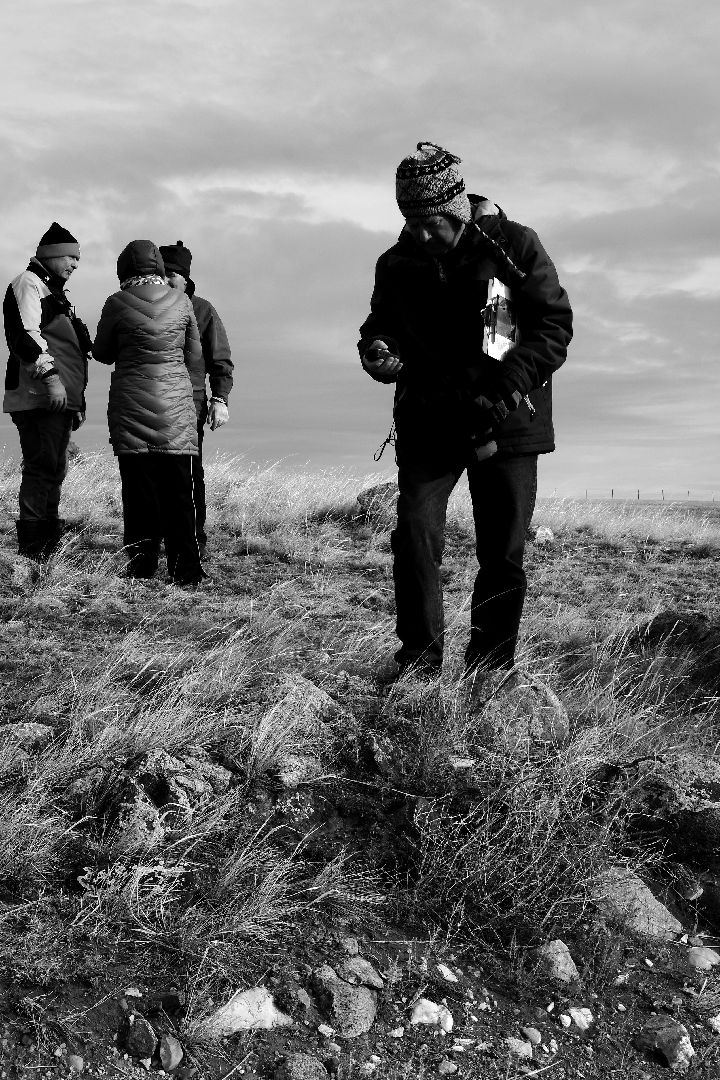
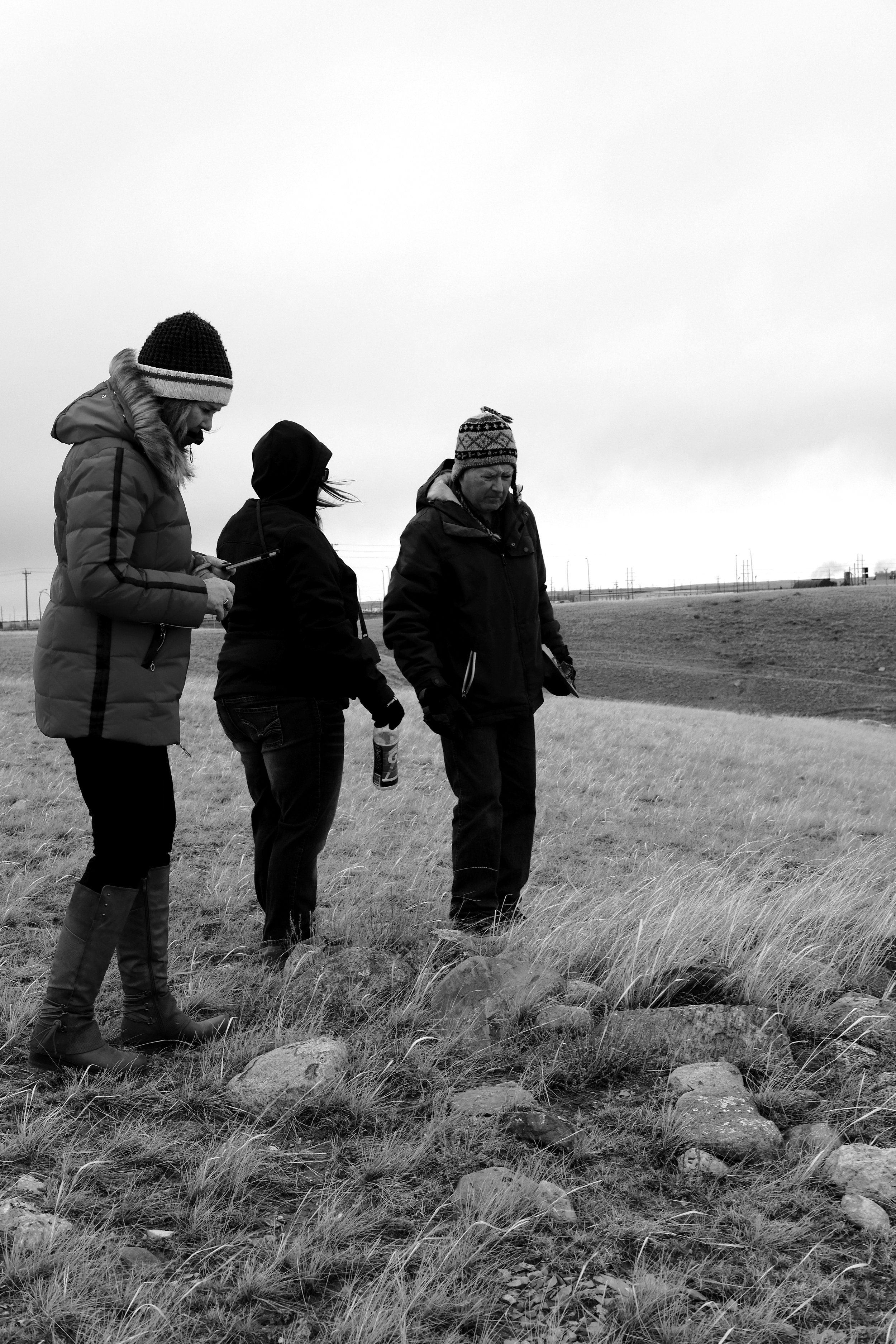
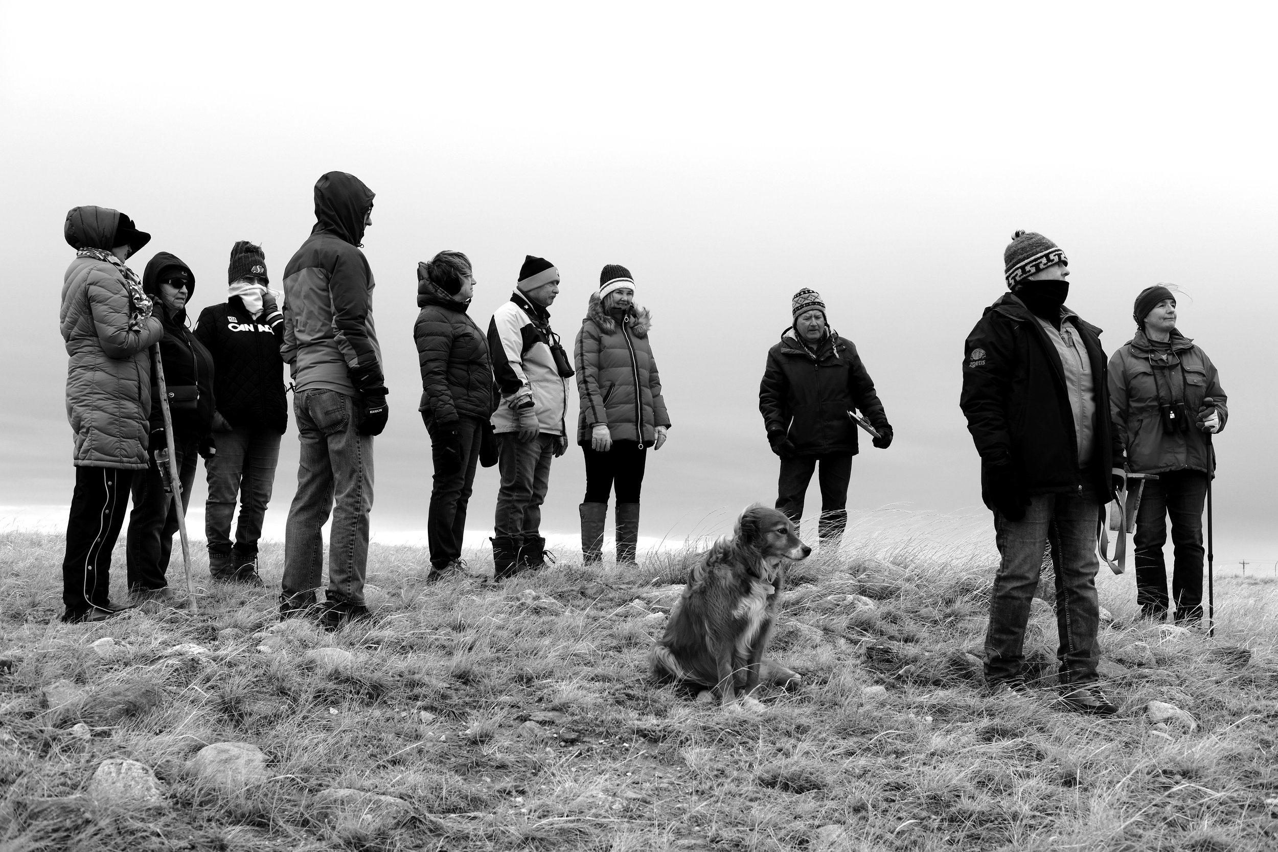
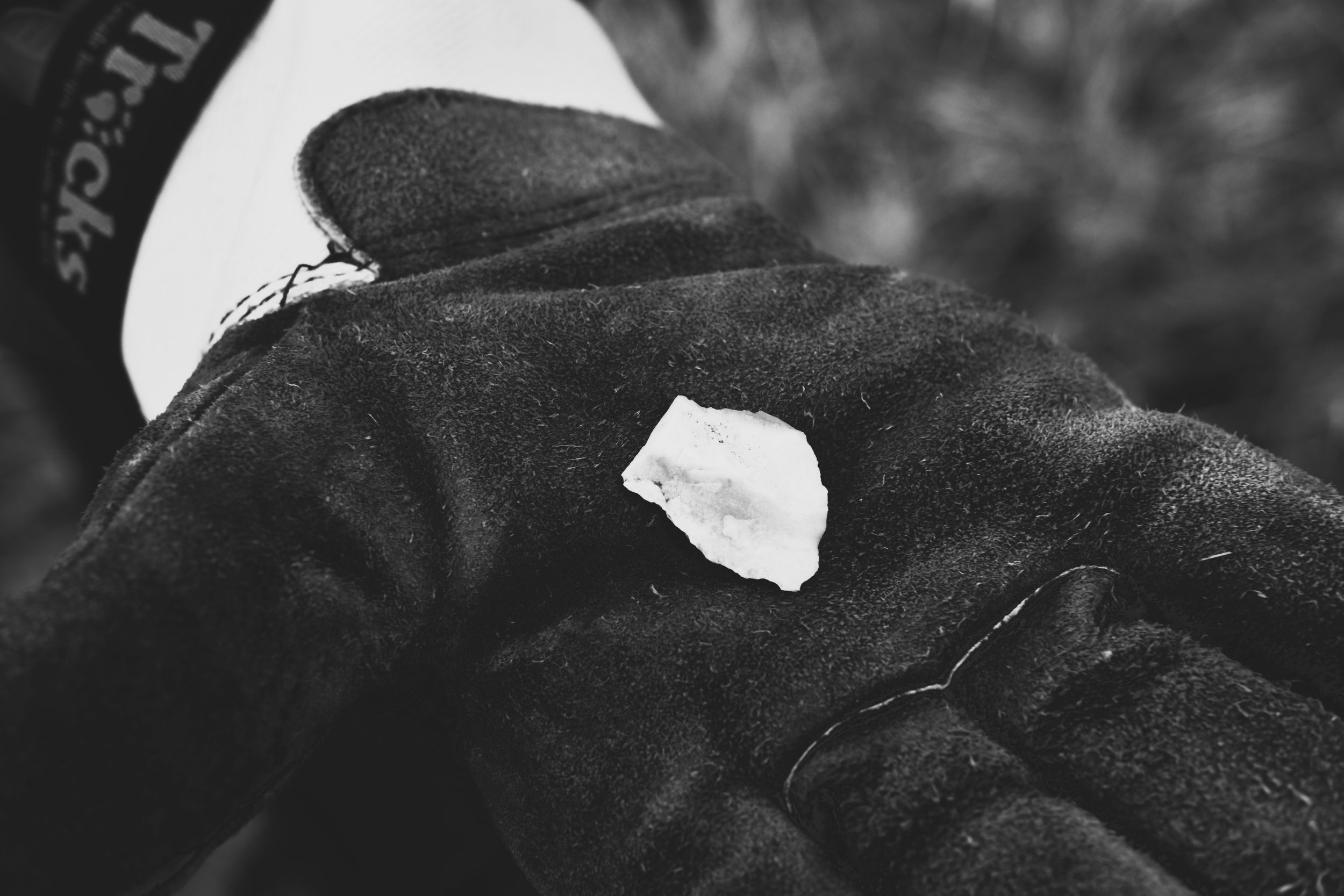
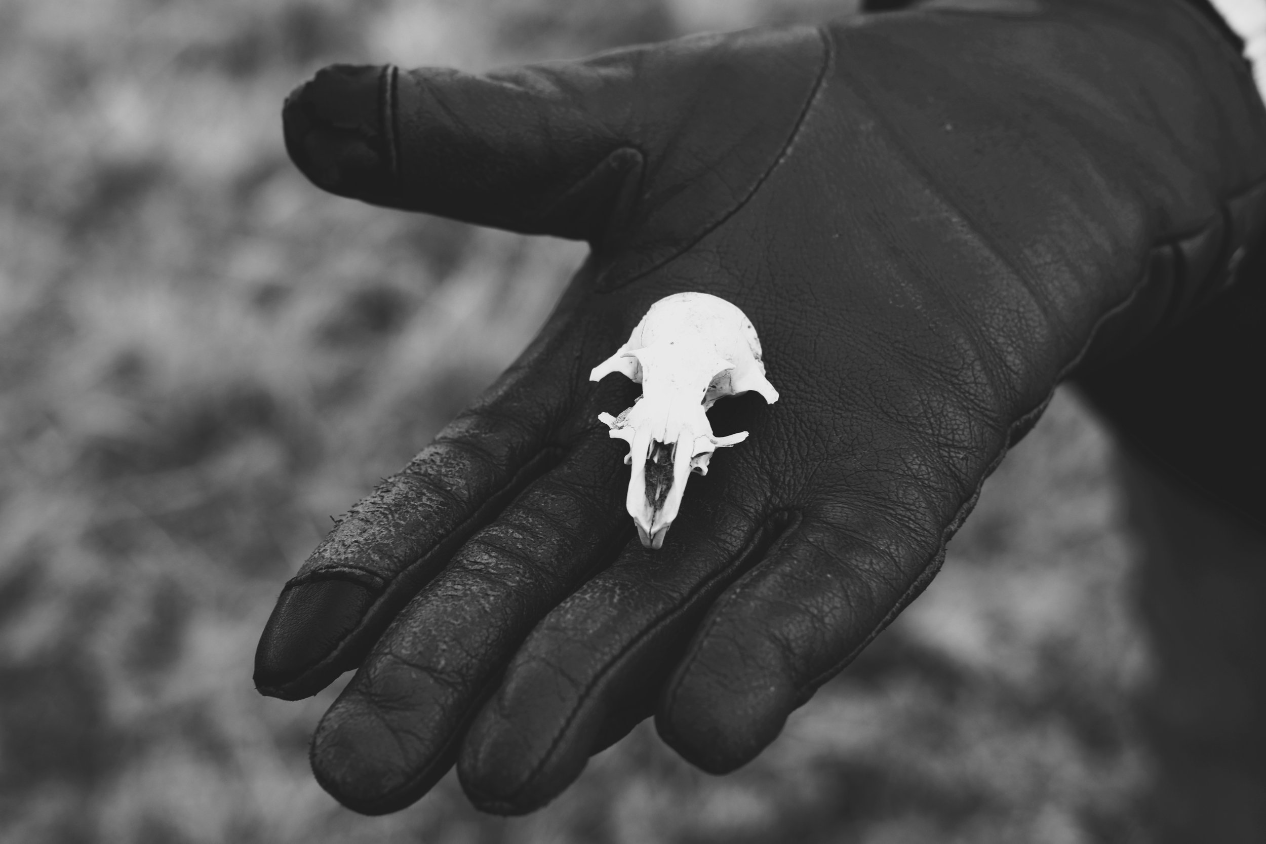
On April 21, 2018, twelve members of the South Eastern Alberta Archaeological Society (SEAAS) gathered to inventory archaeological features within the burned area. Access was on the gravel Range Road 63, off Saamis Drive NW on the south side of the railway. The site visit lasted about three hours on the cold and blustery spring day. Two members returned on May 4 to take additional photos and confirm some locations. On February 6, 2022, 10 participants on a club tour identified several other features in the adjacent un-burned grassland: three stone circles, two cairns and one worked flake.
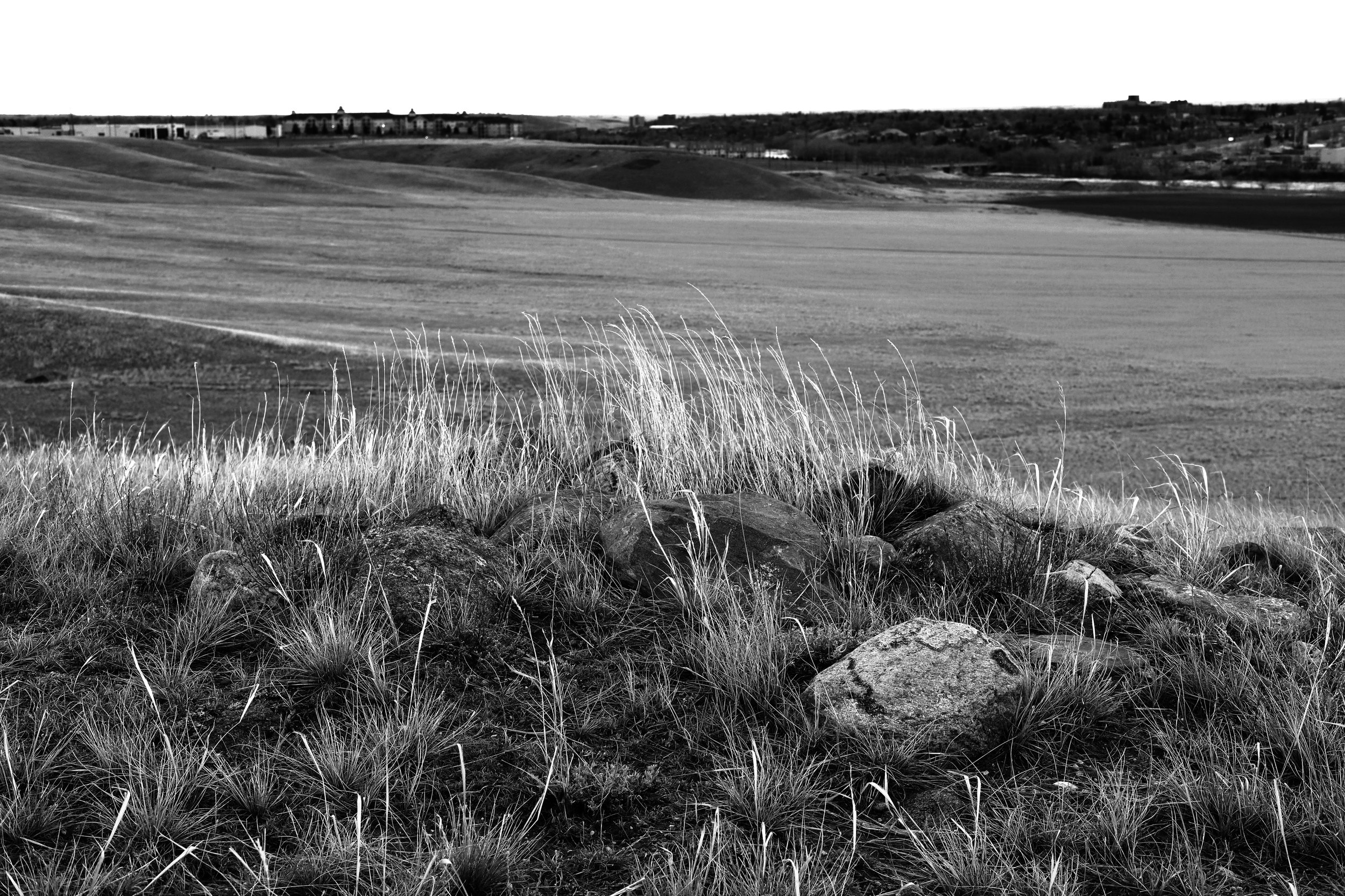
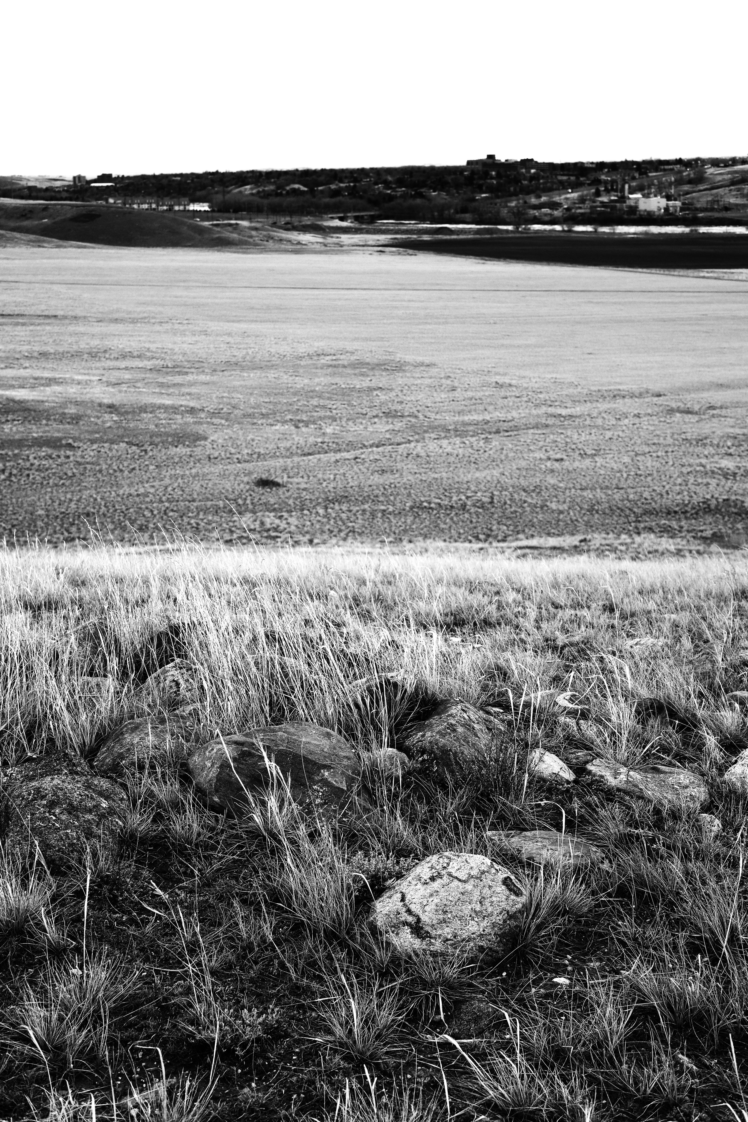
Burnside extends from the South Saskatchewan River north across flat cultivated fields and up fairly steep coulees to the level prairie. The grassfire seemed to start near Range Road 63, then burned both southeast to the edge of the cultivated field, and northeast across the slopes and some of the upland.
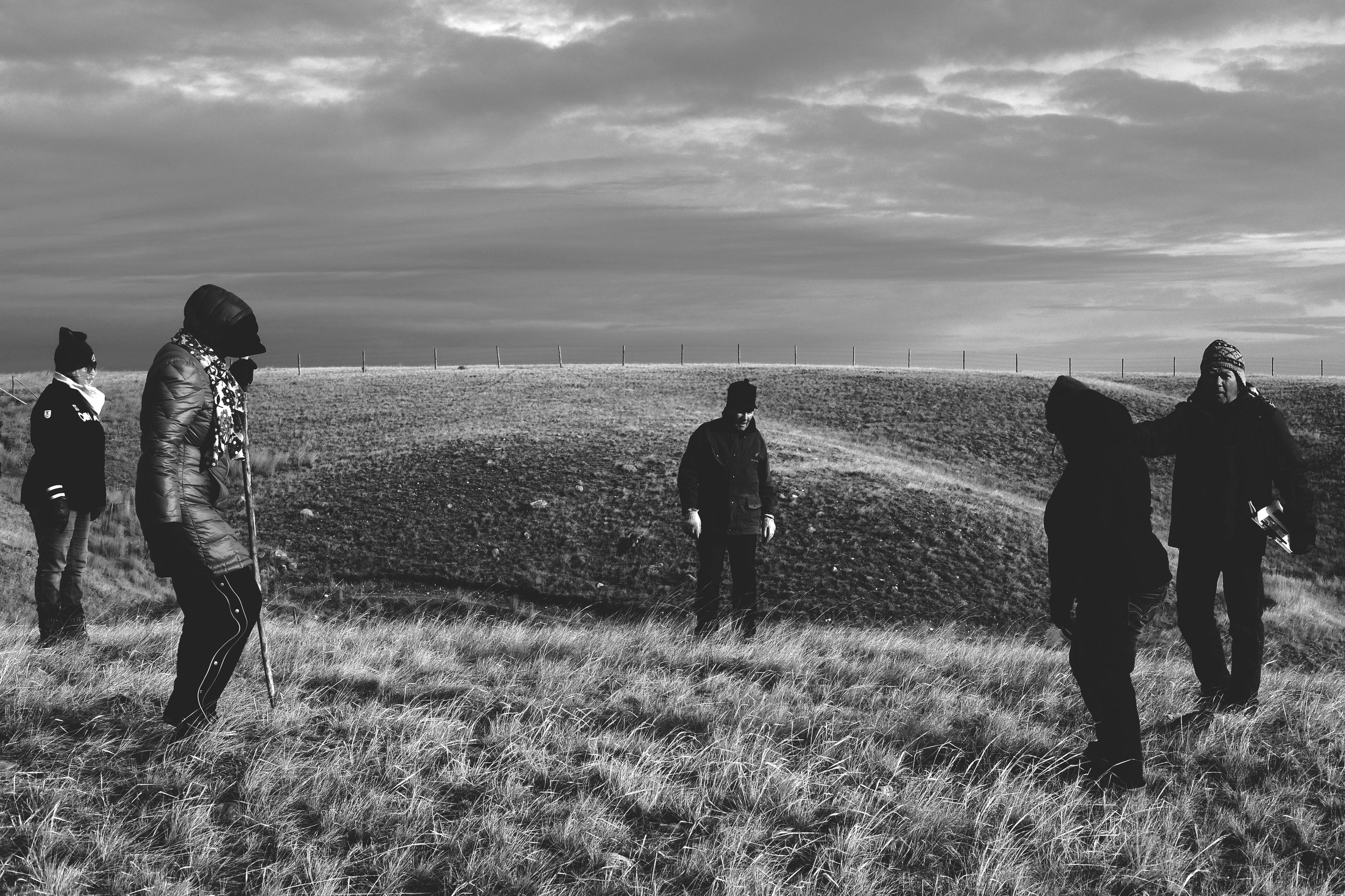
One partial circle (SEAAS 2018-1) was identified on unburned grassland adjacent to Range Rd 63, about 660 m south of Saamis Drive. The feature appears to be about two thirds of a 12-m stone circle. The circle sits on a slight rise, with a good view of the distant Cypress Hills. Farther south, the group walked along the top of the slope for about 500 meters. Thirteen stone circles and three cairns were identified, all within 50 m of the top of the slope. Some members walked northwest across the unburned area, but did not note any additional features until reaching SEAAS 2018-1. In fact, not ten stones were observed in the one kilometer walk.