Medicine Wheels of The Plains
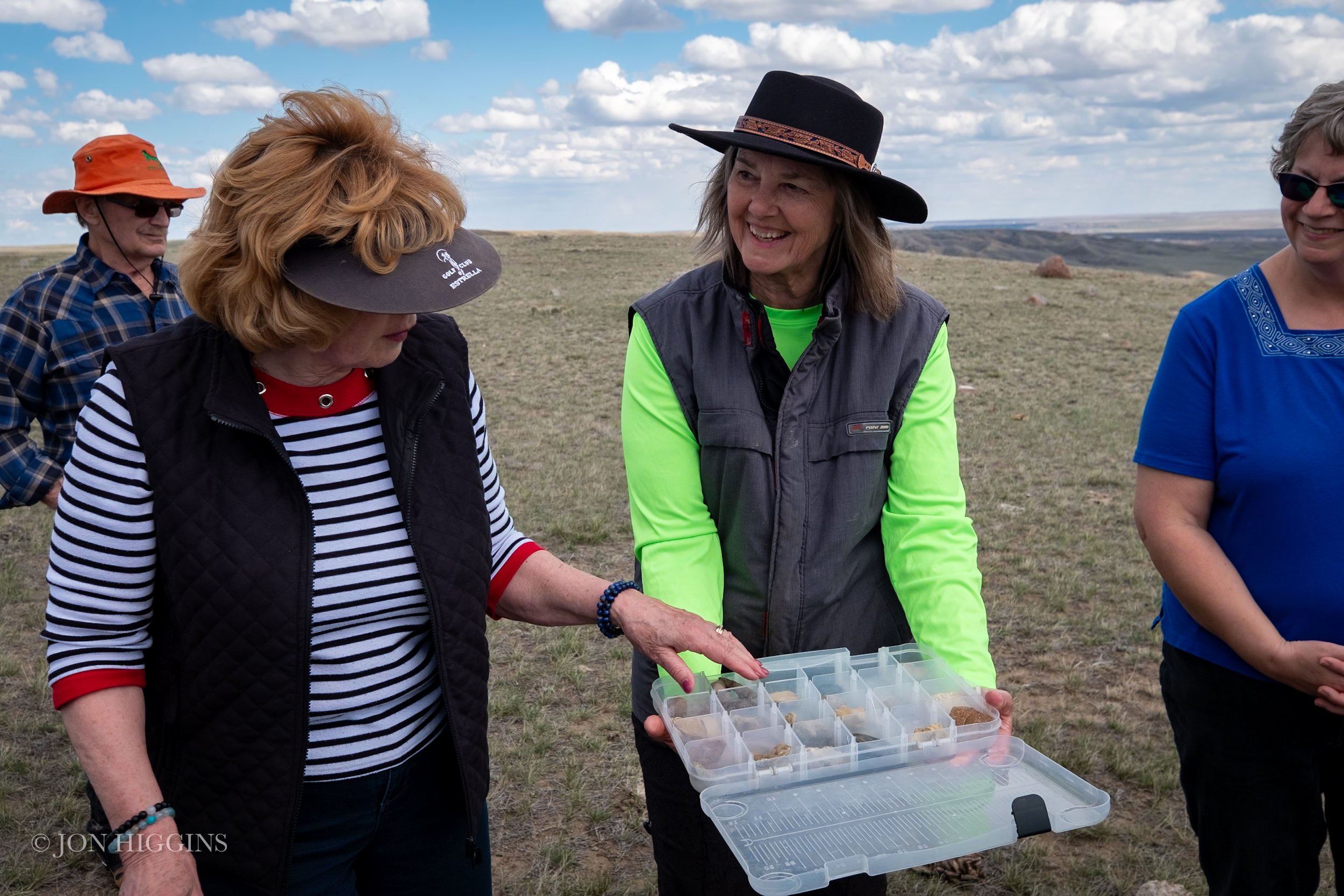
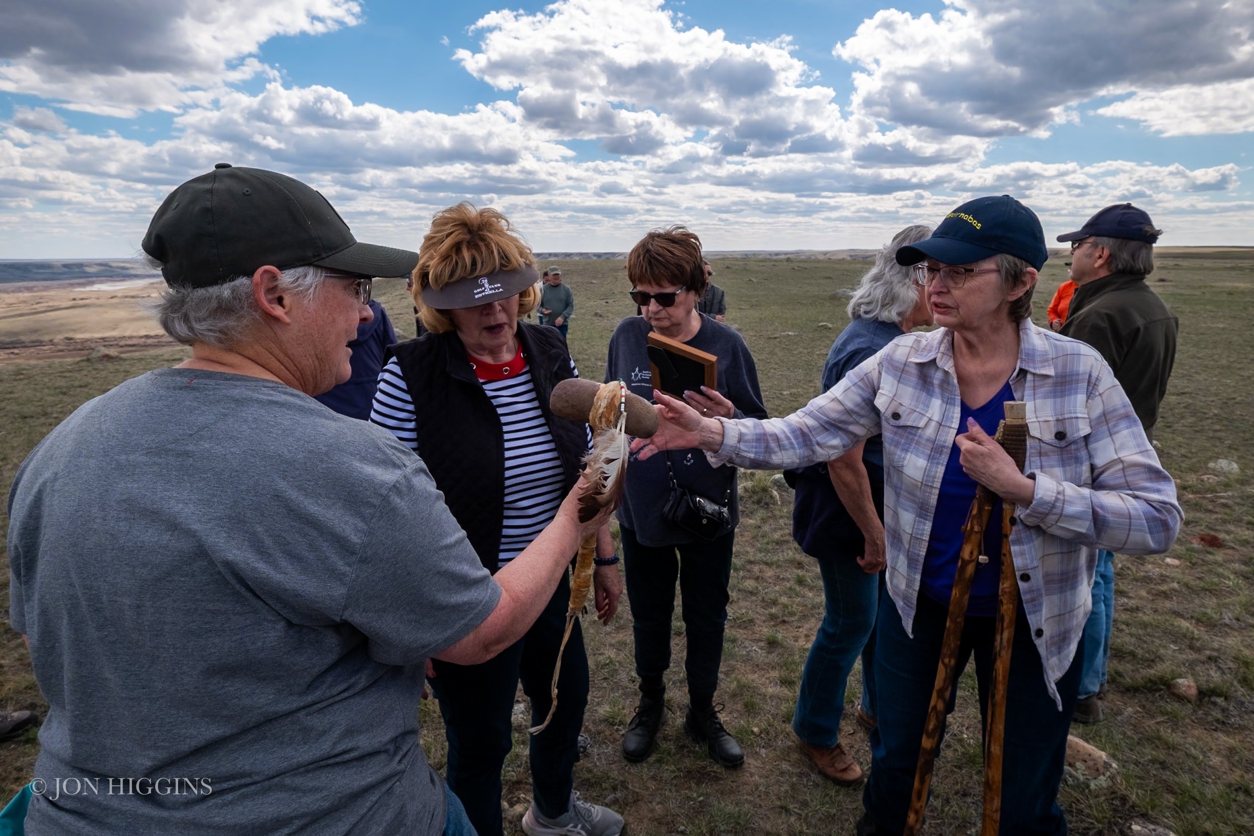
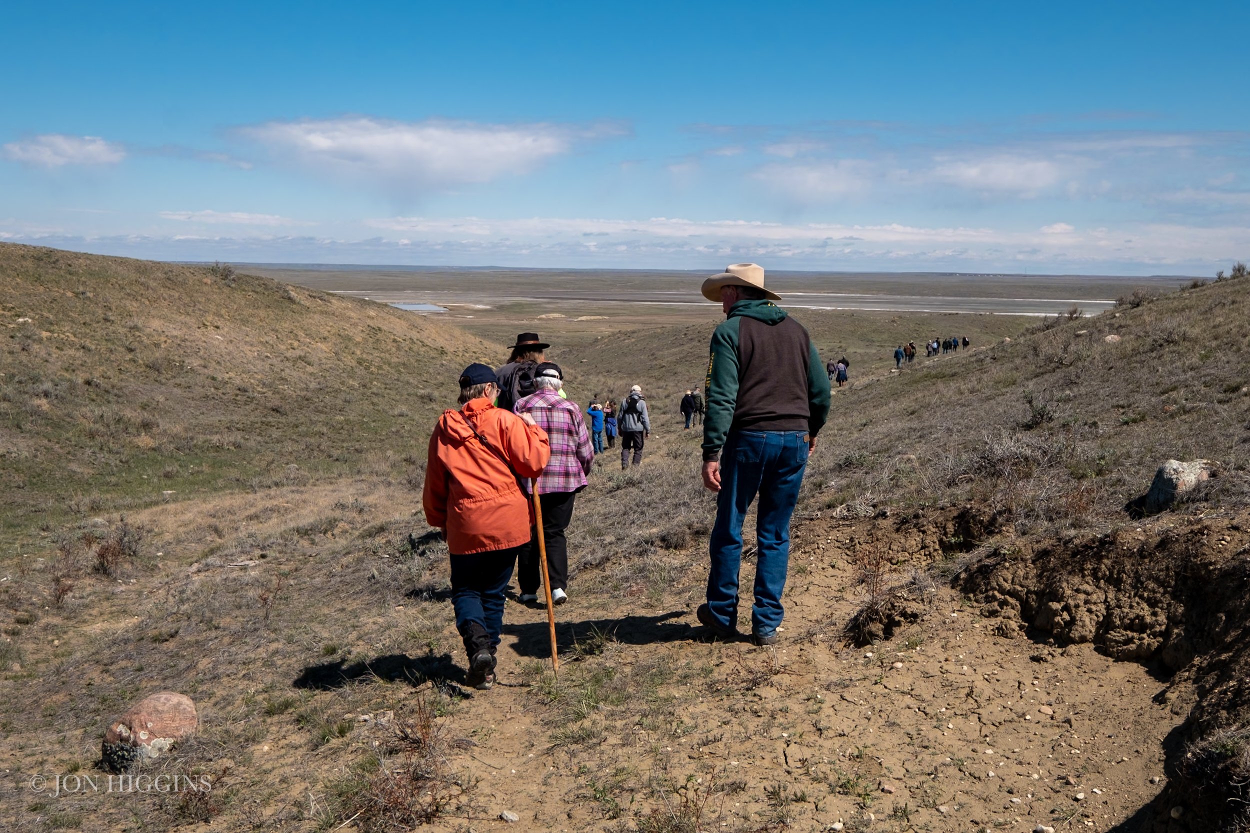
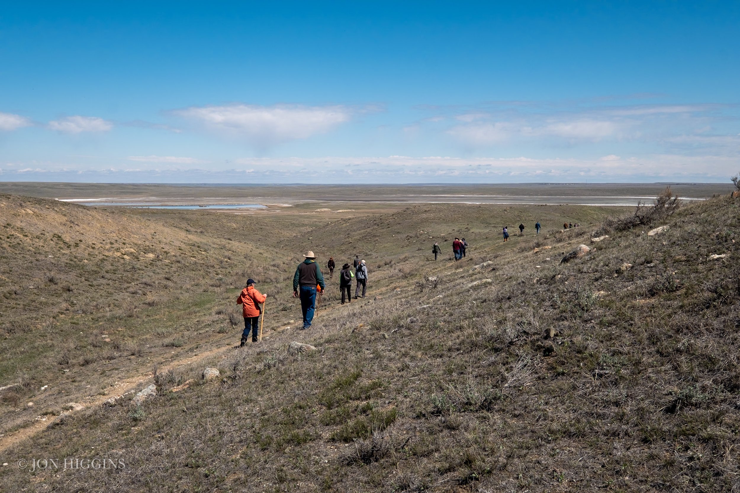
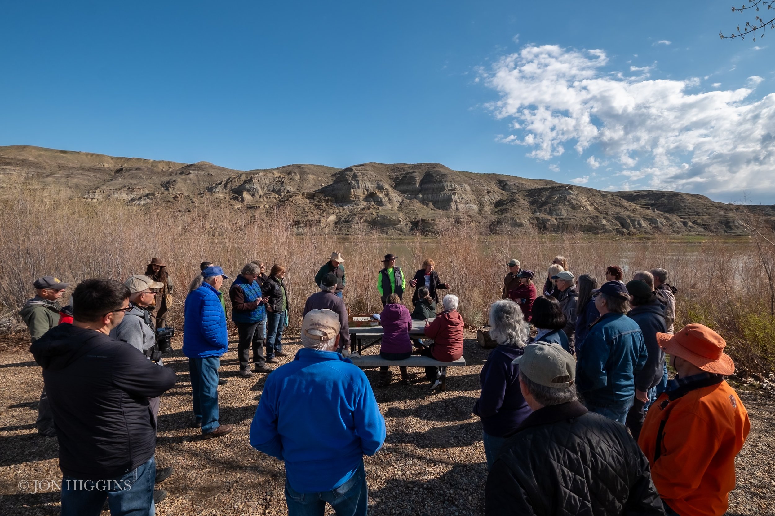
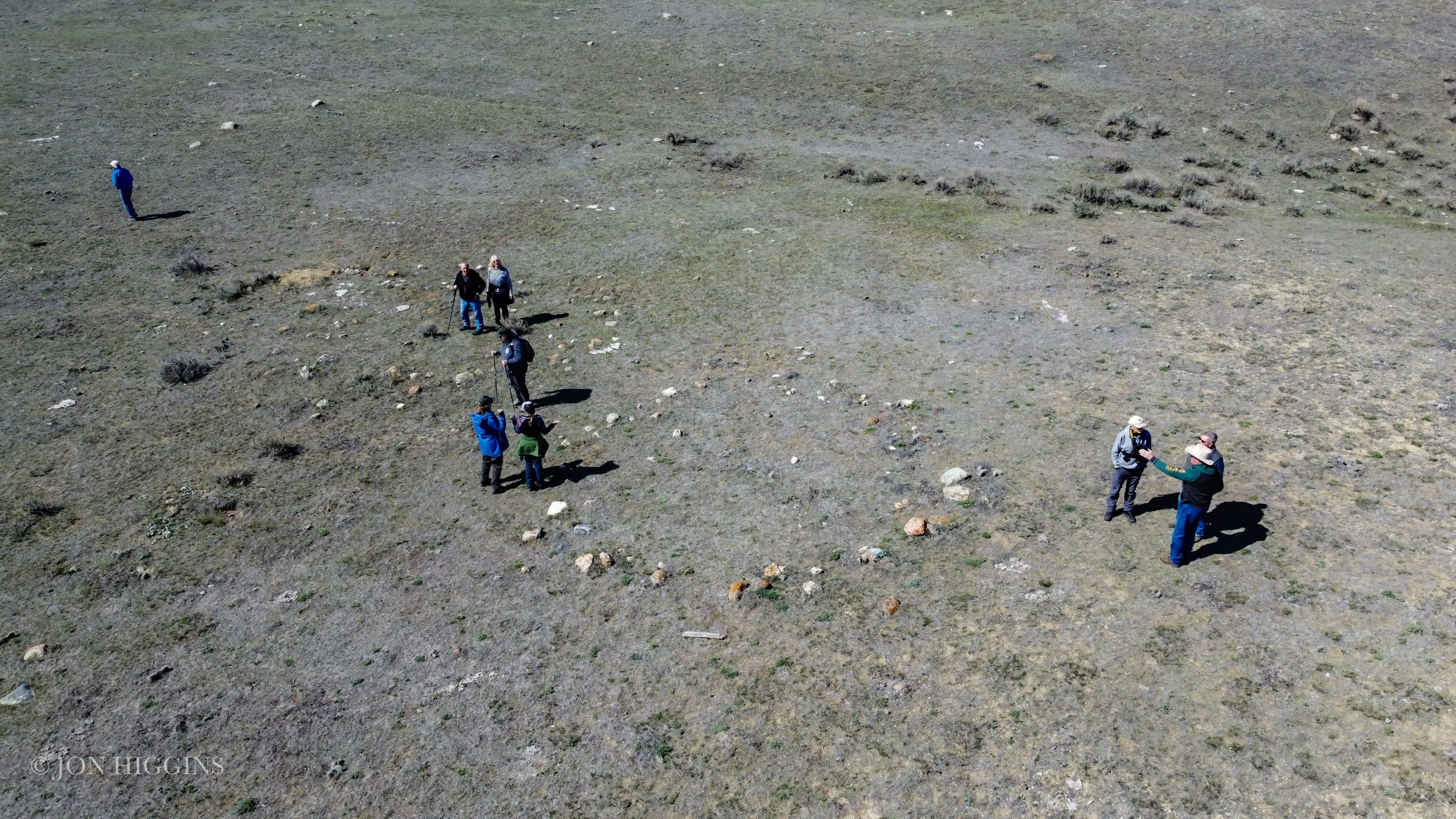
On May 4, 2024, the South Eastern Alberta Archaeological Society had their first field trip of the season and as a member, I was excited to tag along!
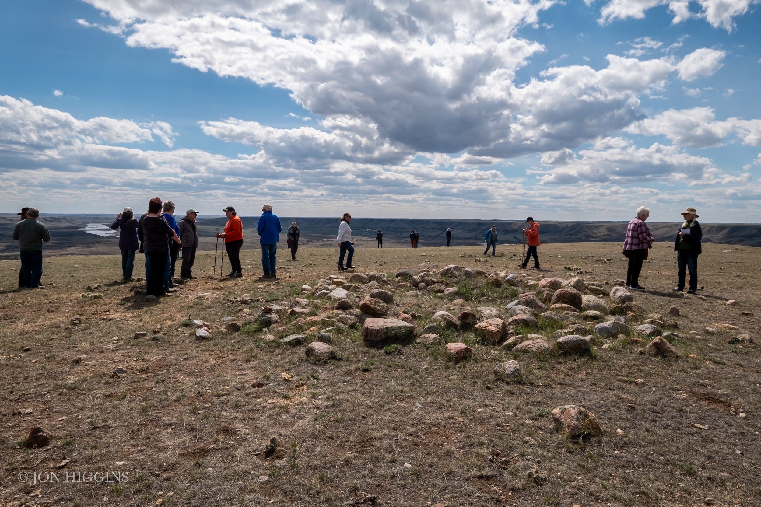
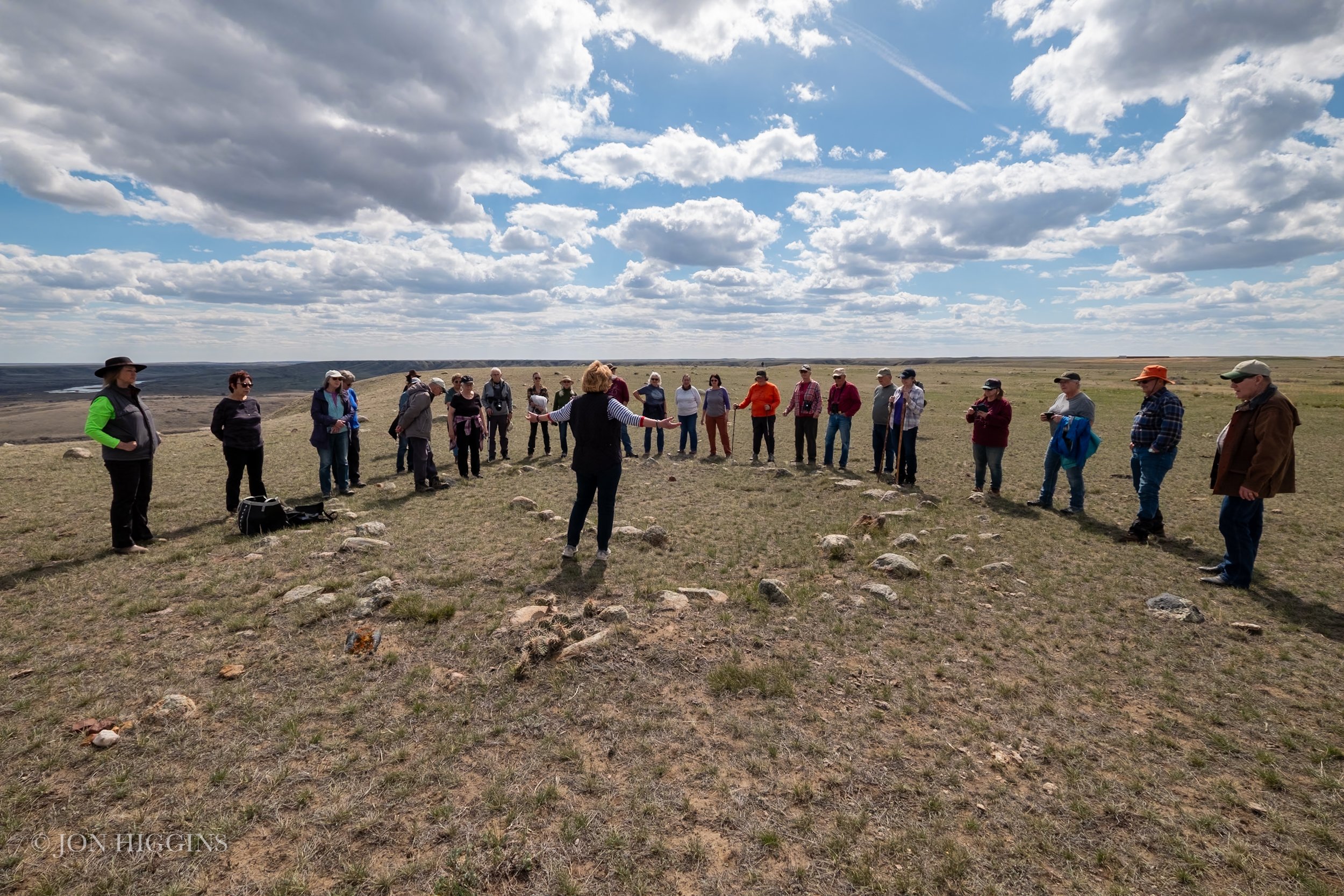
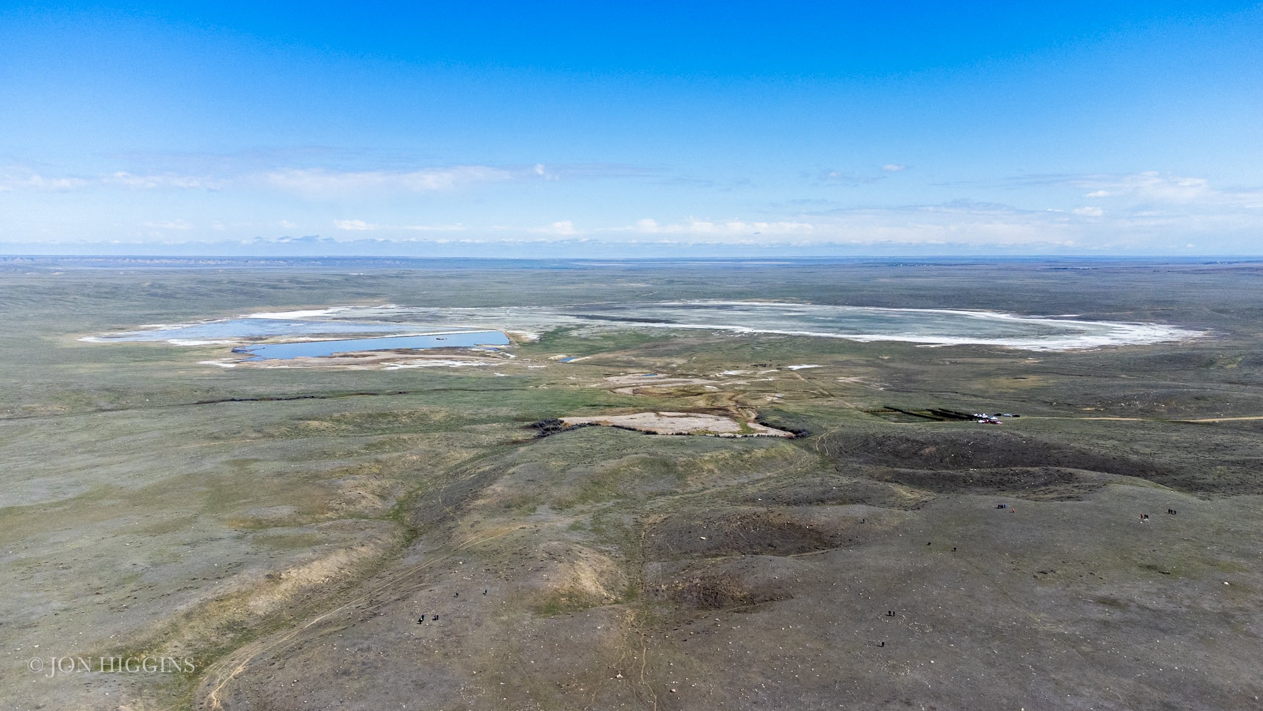
The trip consisted of multiple stops including Sandy Point Campground, Prince’s Springs (located within Special Areas #2, Remount Community Pasture) and Bar Diamond Ranch (owned by Jim and Carol Hern) where Minor I, II, and II Medicine Wheel’s are located.
The archaeological tour took us to ancient tipi rings, medicine wheels, a snake effigy, and evidence of agriculture dating back to the 1500’s. It is believed that Prince’s Springs and Bar Diamond Ranch locations were connected, with Indigenous people moving back and forth between these locations.
Below is an excerpt from the Number 15, April 2018 Occasional Papers of the Archaeological Society of Alberta Journal titled, Medicine Wheels of The Plains and Rocky Mountains.
Minor Medicine Wheel Ceremonial Site Complex
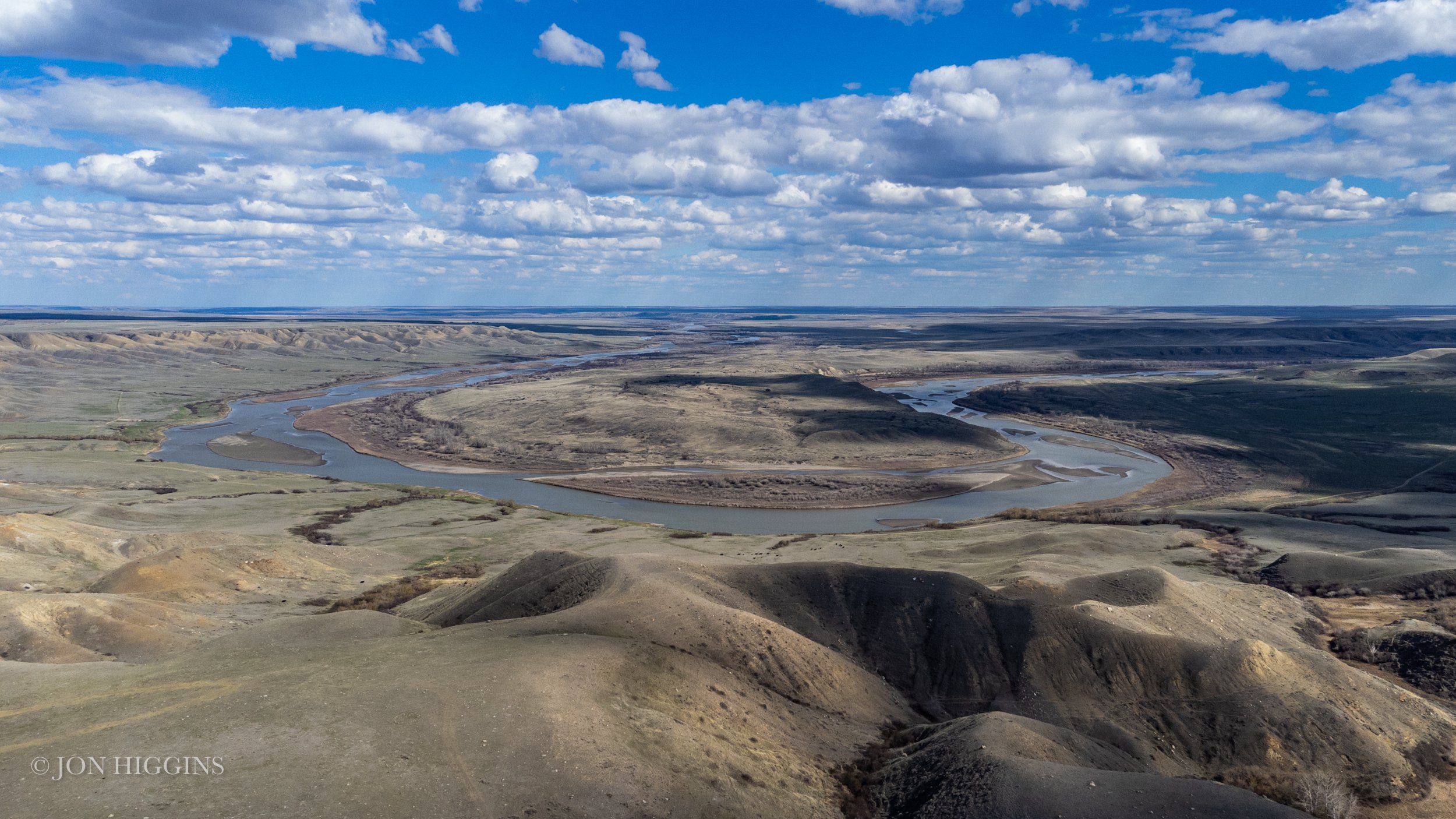
The Minor Medicine Wheel Ceremonial Site Complex is located on the north side of the Red Deer River 30km upstream of the Forks of the Red Deer and South Saskatchewan rivers. The complex, ca 50km2, is associated with the moraine covered high bluff top and adjacent morainal lands of the Red Deer River, standing 132m above a spectacular bedrock-incised horseshoe-shaped river bend. The river valley at the horseshoe bend is notable for its orange lichen-encrusted red siderite sandstone, which outcrops only in this reach of the river and glows at sunrise and sunset. It is very likely that place identified as "Red Rock" in George Dawson's Blackfoot place name list (Dawson and McConnell 1884:166) and known as maok-skoistch or the "Sacred Red Rock Place" in Blackfoot (pers comm, Reeves 2017 with Margaret Plain Eagle, Piikani Elder). The view out over the horseshoe bend and Dune Point both upriver and downriver is outstanding and was clearly a focal part of the constructed ceremonial landscape.
The land where the Minor Medicine Wheel Ceremonial Site Complex is located is part of a century-old working cattle ranch once owned by the Minor family (hence the name of the medicine wheels site proper, which has entered the archaeological literature incorrectly spelt as Miner until the authors corrected it. Surface disturbances on the ranch are minimal and those that are present are almost all linear in nature relating to district ranch roads and oil and gas infrastructure development over the last 50 years. TransCanada’s Eastern Alberta Main Gas and Oil Transmision corridor runs north-south through the coremonial complex 1.5km west of the medicine wheels. A number of sites have been investigated as part of cultural resource management studies along this corridor over the past 35 years. The three medicine wheels and adjacent stone feature sites were recorded by Gary Adams in 1975 (Adams 1976a,b: Fig. 8), transit-mapped by Walde (1976) and revisited and remapped (Minor III) by Vivian et al (2008:28-29:Fig. 22) and (Minor I and Il) by Hanna et al (2009:8-10, Figs. 4, 5).
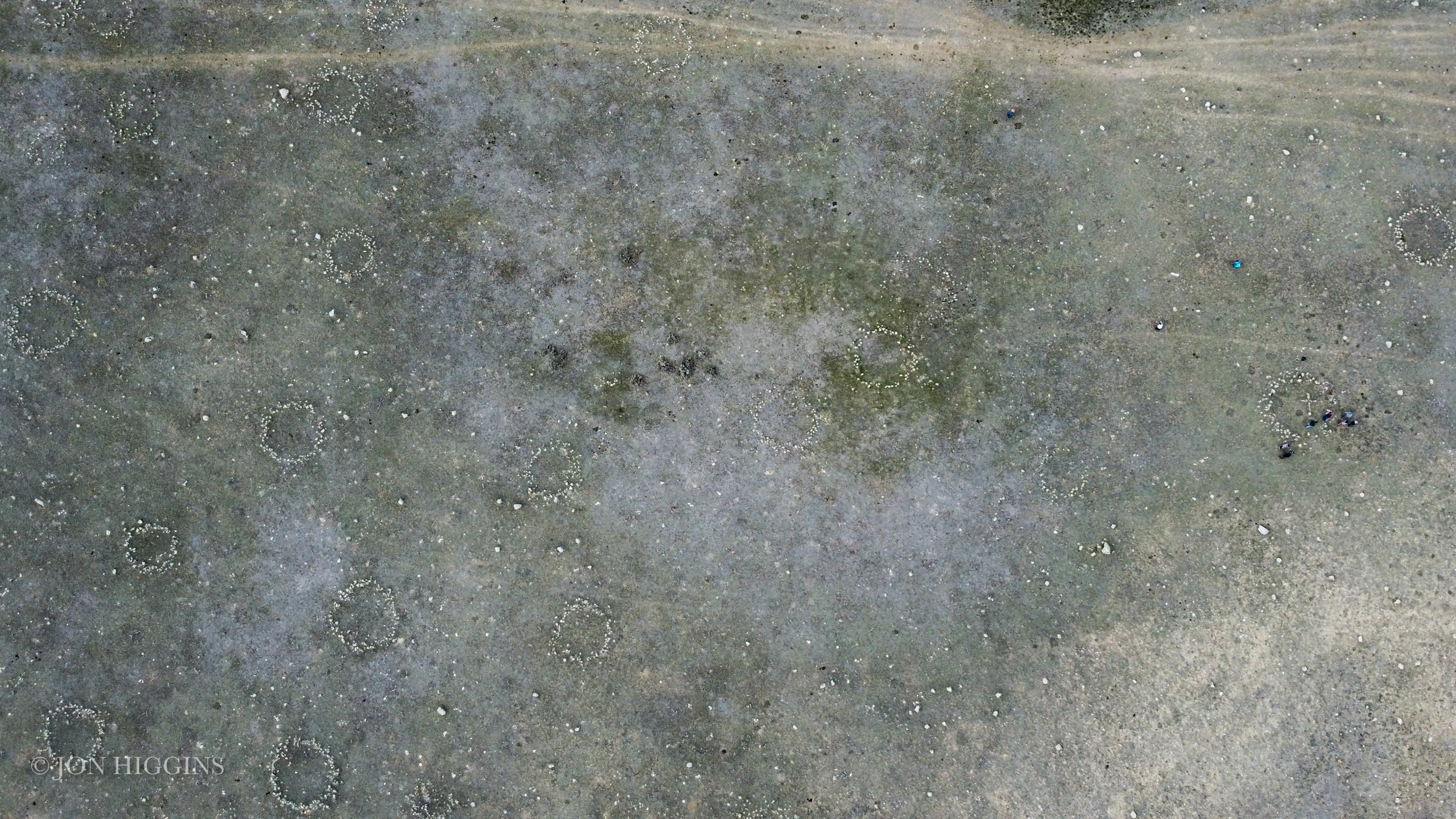
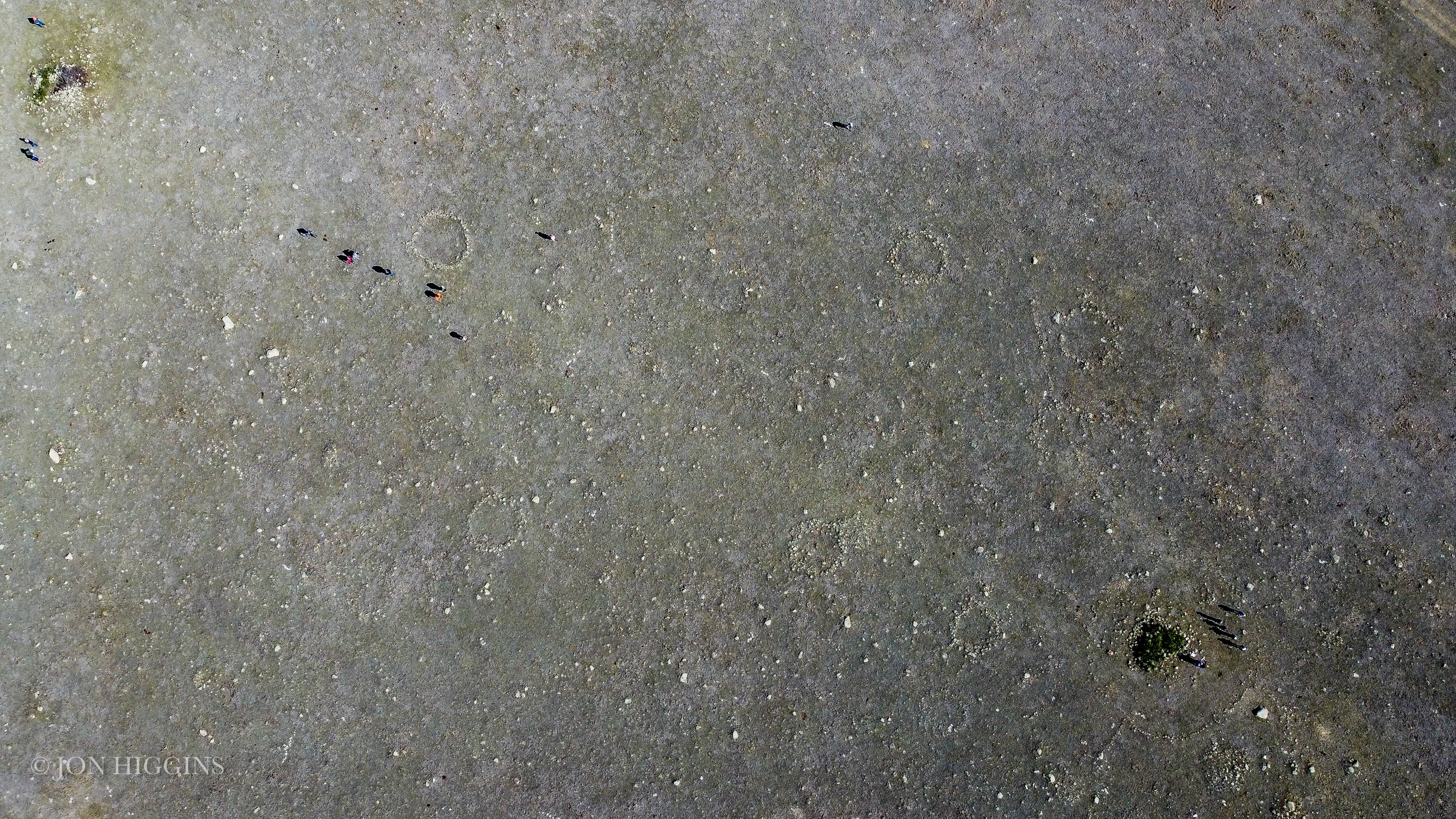
Reeves and Kennedy visited the medicine wheels in 2012 and, in realizing that the scope and complexity of stone features present was even greater than reported by Adams, launched a new multiyear intensive site inventory in the medicine wheel locale and surrounding area. Over 2000 stone feature sites have been identified in over a distance of 11km along the rim and valley floor of the horseshoe bend and back from the river in the surrounding moraine. The ceremonial stone features are found only in locales where glacial cobbles are available for construction and the Minor I, II and/or III medicine wheels are in line of sight.
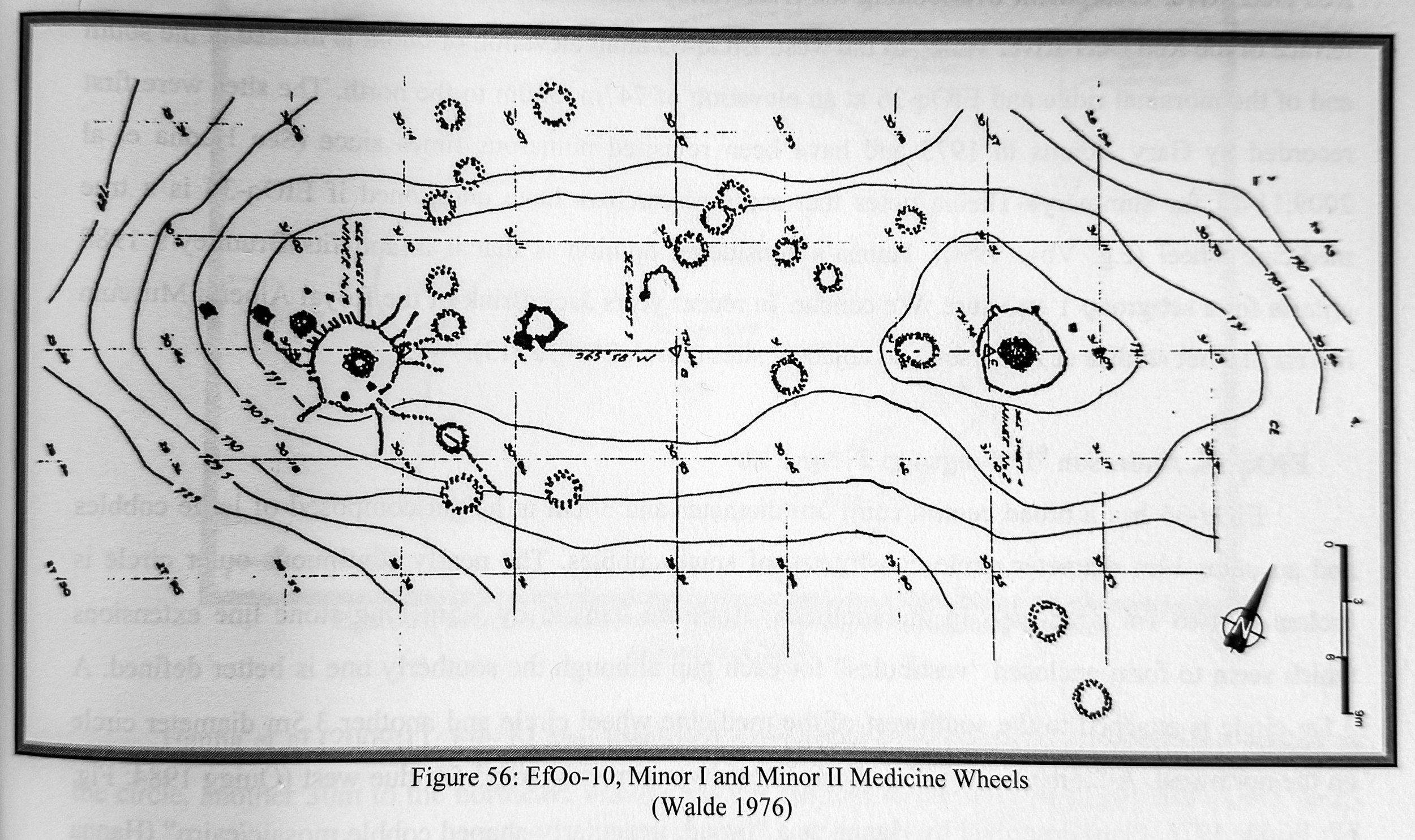
EfOo-10 Minor I and EfOo-10 Minor II
The focal point of this complex is the Minor Medicine Wheel Ceremonial Centre, EfOo-10, ca 100 hectares in size, whose focal landform is a glacial moraine, flat-topped linear ridge containing the Minor I and Minor II, Subgroups 7 and one medicine wheels respectively. A third medicine wheel, EfOo-24 Minor III, Subgroup 1, is located 4.5km east, on the northeast side of the high bluffs of the horseshoe bend.
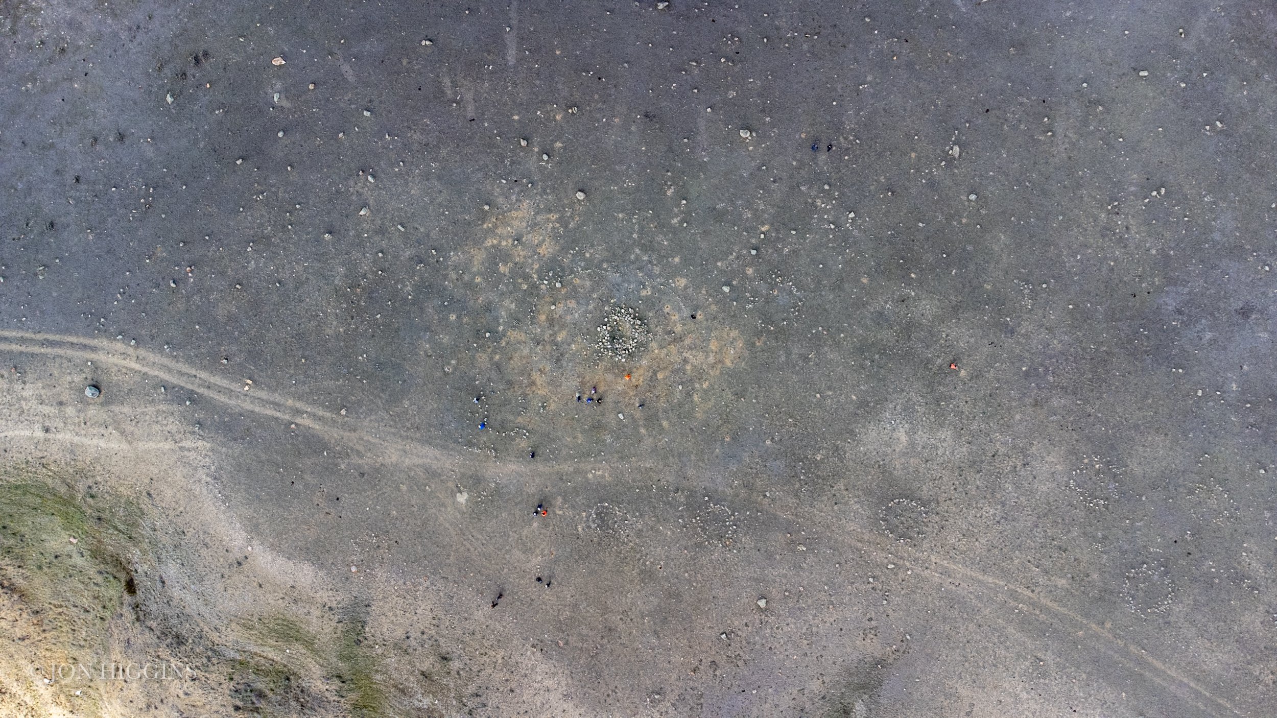
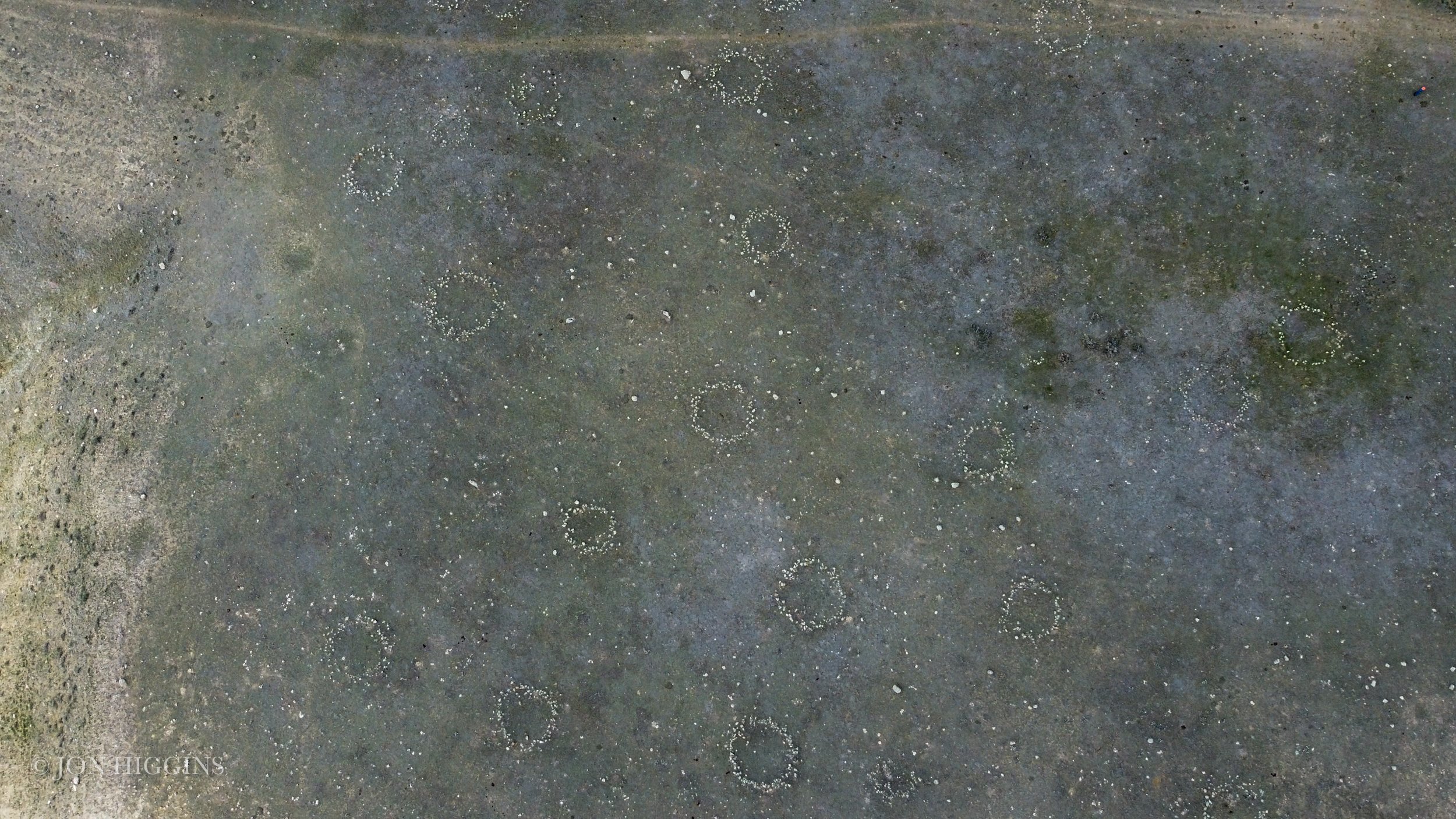
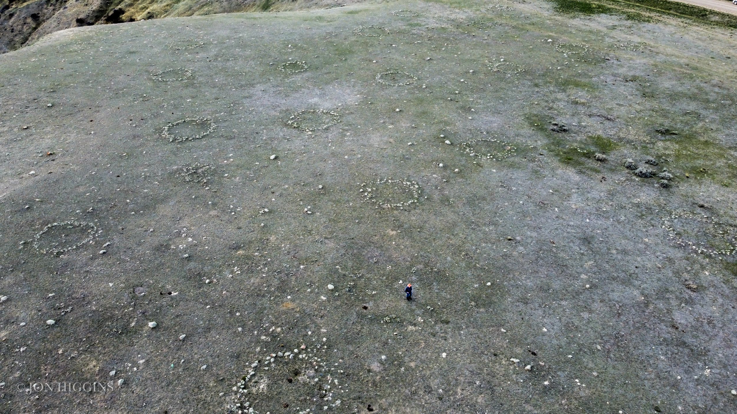
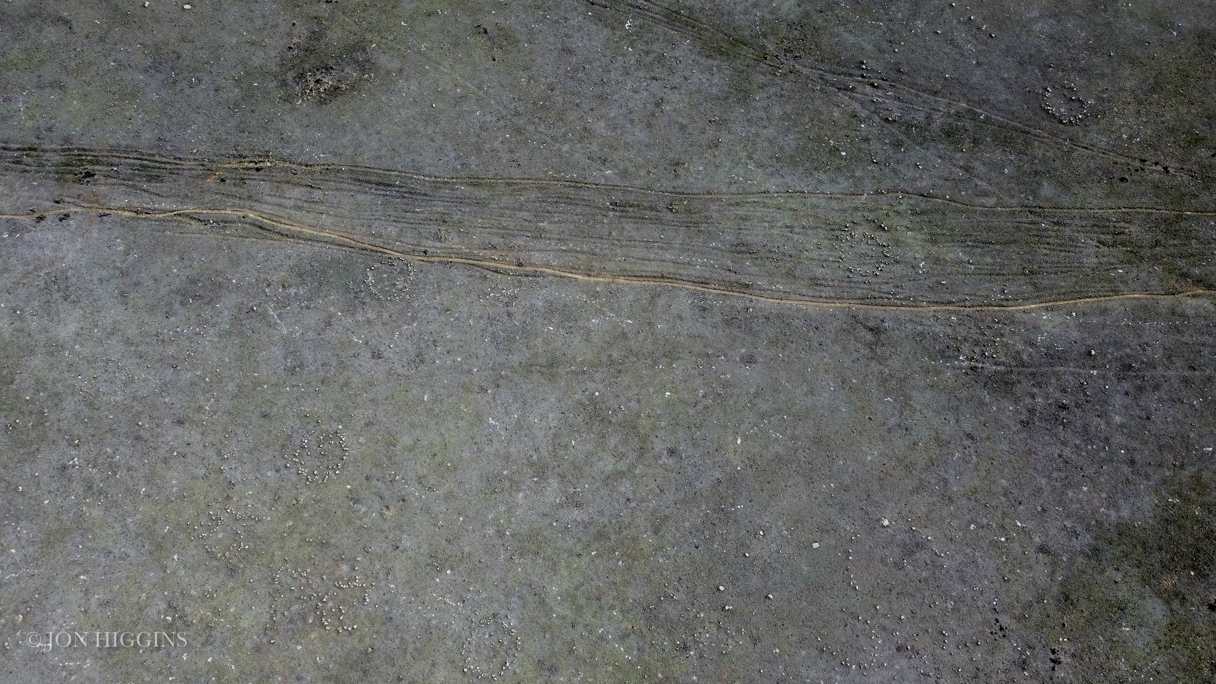
Over 1,000 ceremonial stone features have been recorded in the ceremonial center (Reeves and Kennedy 2018) and another 200 or so stone features in the river valley below. (Figure 56)
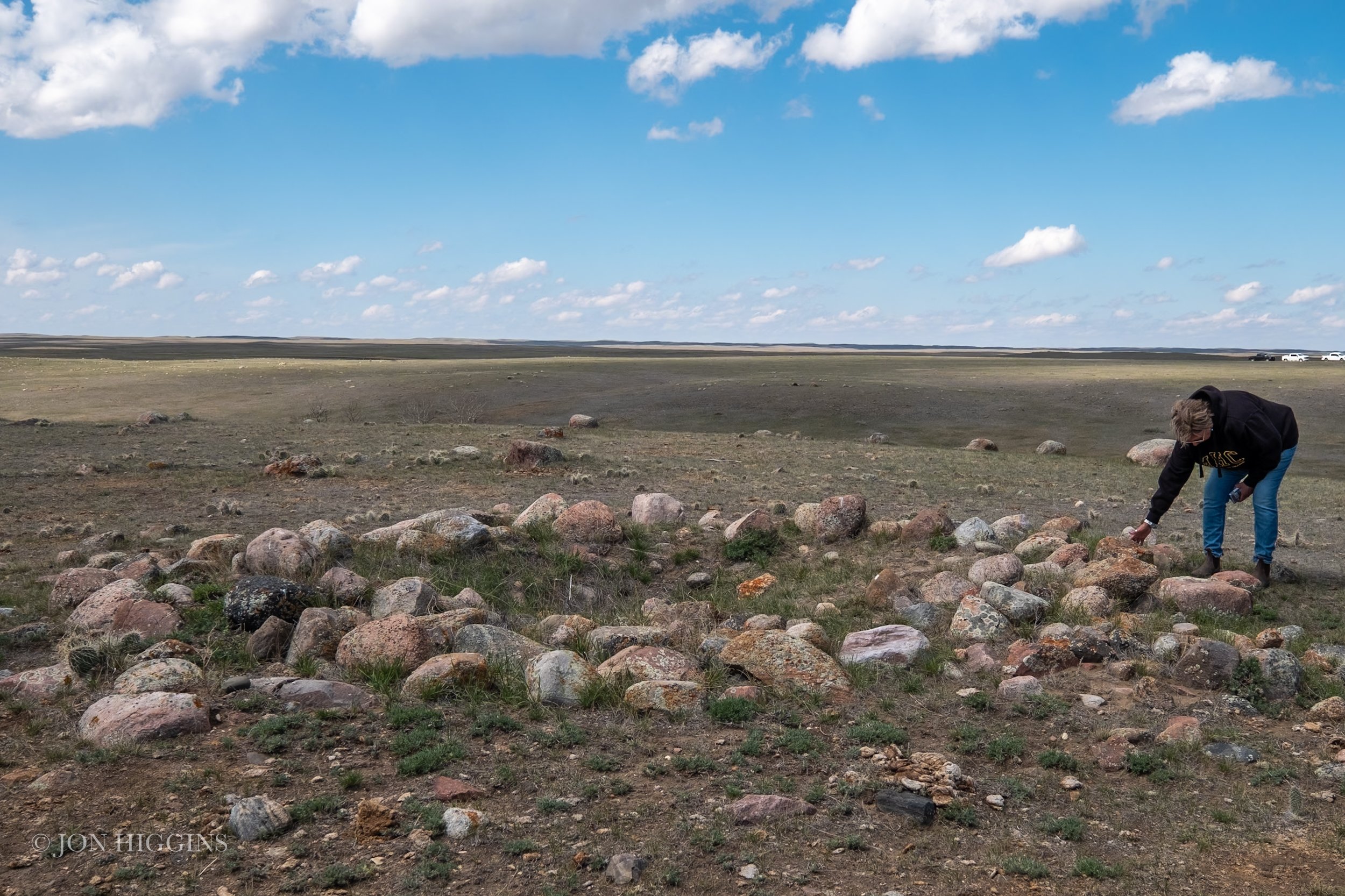
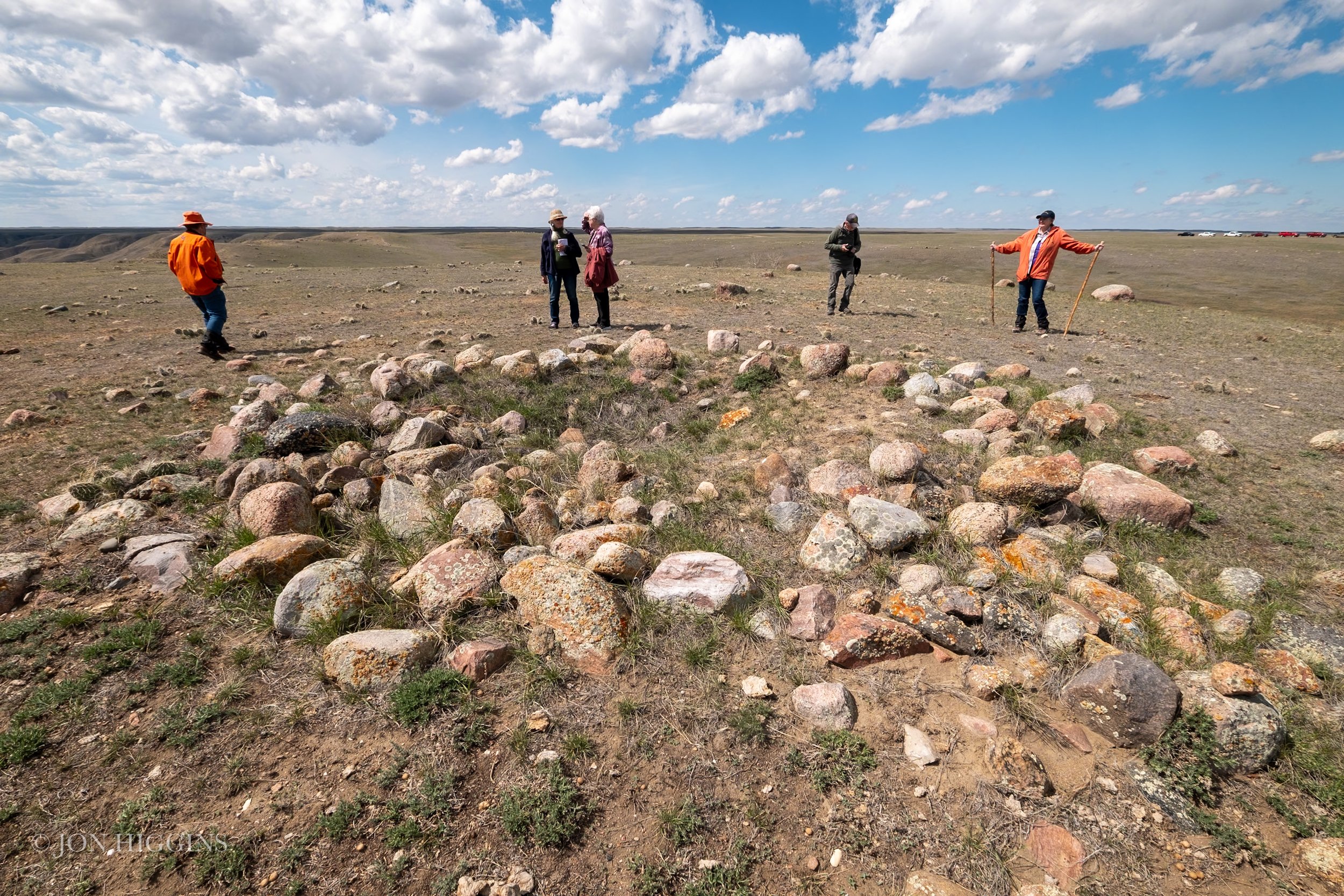
Minor I and Minor Il medicine wheels are paired rock-covered mounds, whose covers have been vandalized, situated 120m apart along the 20-30m wide north northeast-south southwest oriented ridge on the northwest side of the horseshoe bend directly overlooking the Red Deer River valley. The two medicine wheels are oriented on a 25.5° North of East line of sighting, A processional way with a defined footpath connects the two rock mounds. It is bordered by a spatially organized set of ceremonial stone features including ceremonial circles, D-shaped circles, conjoined circles, erratics, rocked erratics, cairns, platform caims and termini of alignments extending out up to 100-300m from the medicine whee platform. Minor I at the south southwest end of the procesional way has a 5m diameter central rock-covered mound surrounded by a 15m diameter circle with two defined openings on the east and southeast. The latter has two stone lines radiating out. The northernmost, 30m in length, terminates in a small cairn after bisecting a circle approximately half way. The southern line is 9m long terminating in a small cairn. Seven other stone lines radiate out in lengths between 4.5m and 9m. Four end in large stones and one in a cairn. Two small cairns lie within the circle, and two very large platform cairns are situated 2.2m and 9m west of the circle. Minor II has a 5.5m central rock-covered mound, surrounded by a 15.5m diameter stone circle. Radiating stone lines are absent. Two rectangular platform cairns lie on the northern perimeter.
EfOo-24, Minor III
Minor Ill is situated on the high southwestern-facing bluffs of the Red Deer River 4.5km due east across the northern rim of the Red Deer River valley from Minor I and Minor II. The medicine wheel contains a 5.7m central cairn, which has been badly vandalized by collectors, exhibiting a 1m deep snake infested central pit. The outer 18m diameter circle is oval in shape and characterized by tightly packed small sized cobbles (Brumley 1988: Fig. 9). A horned rattlesnake stone effigy lies on the southwest side of the circle. Numerous other stone features including circles and cairns are found close by.
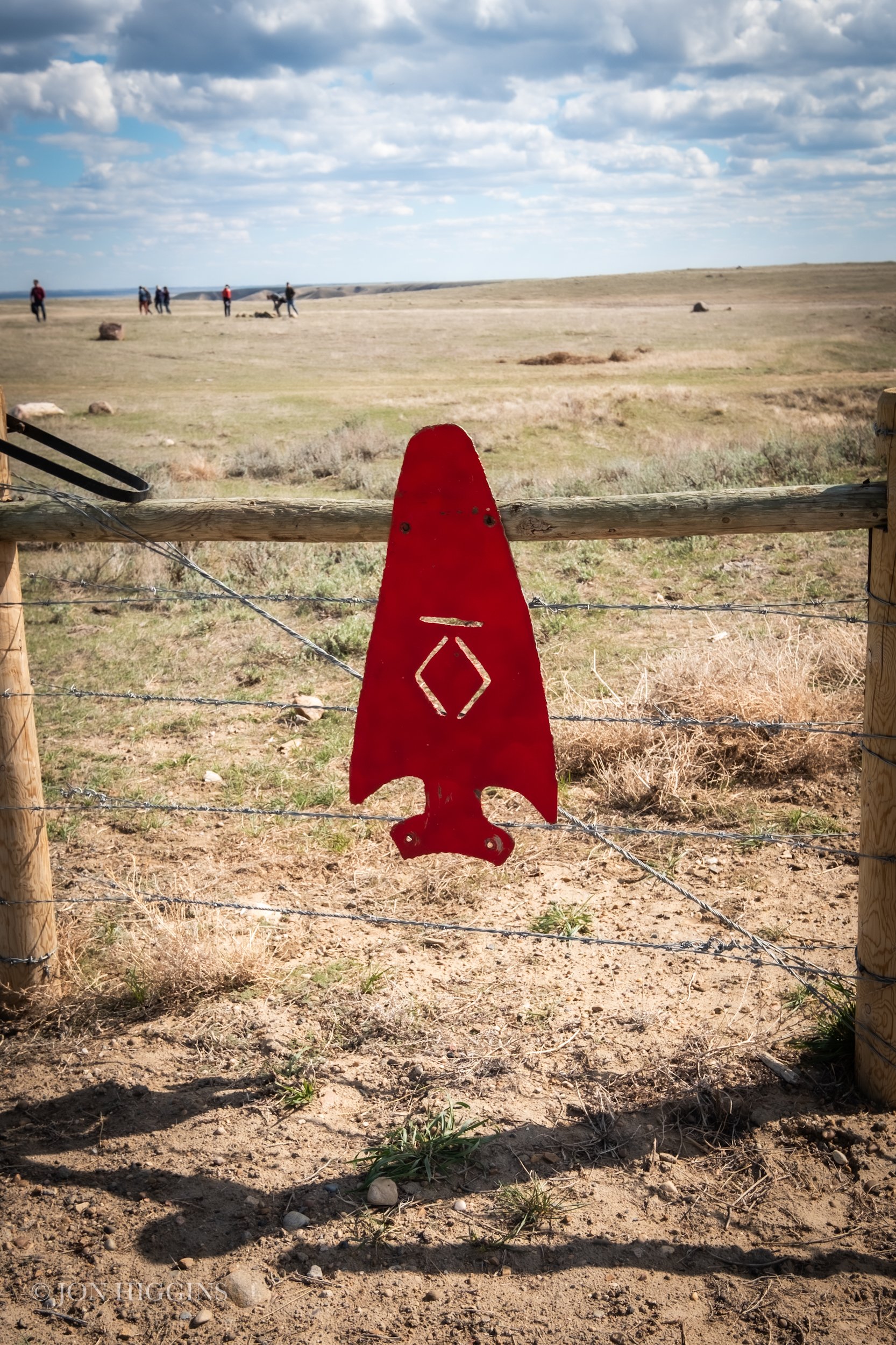
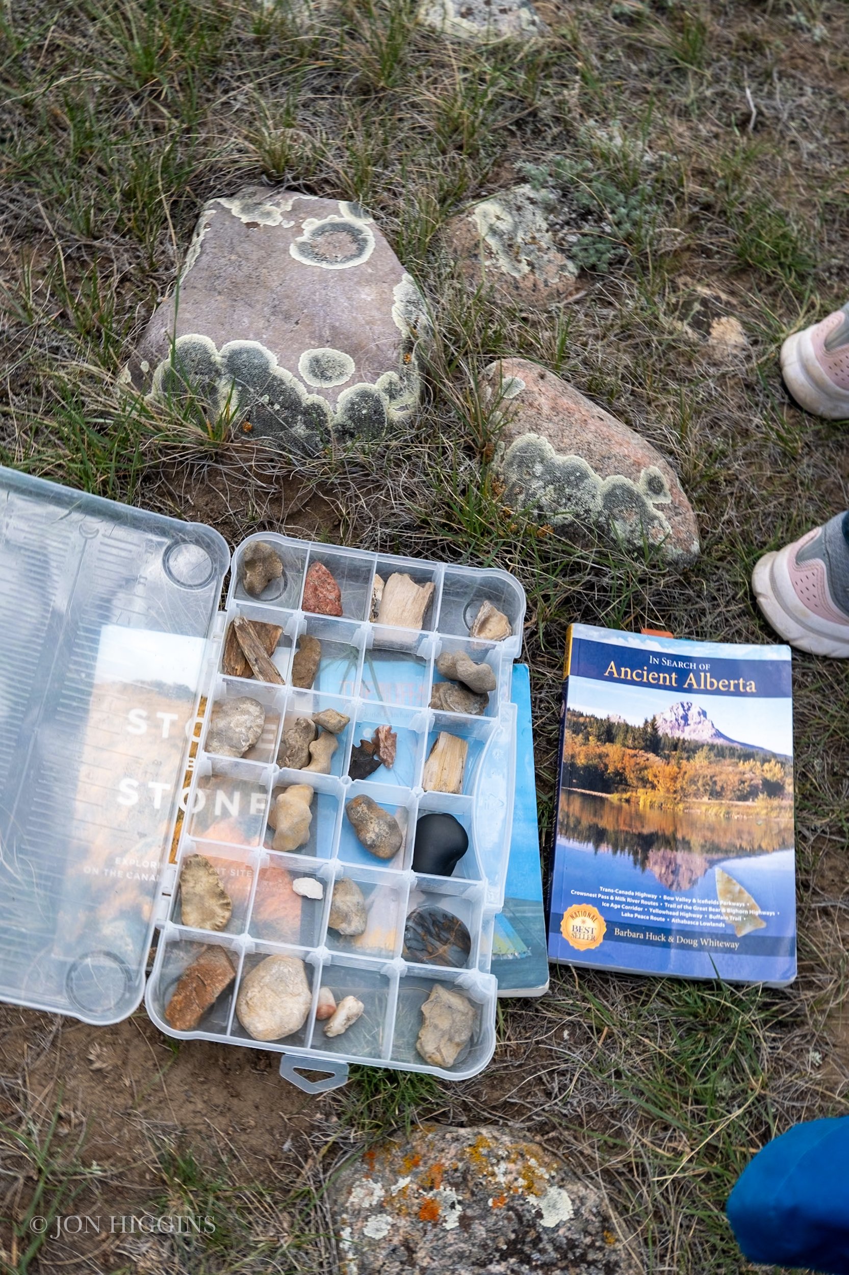
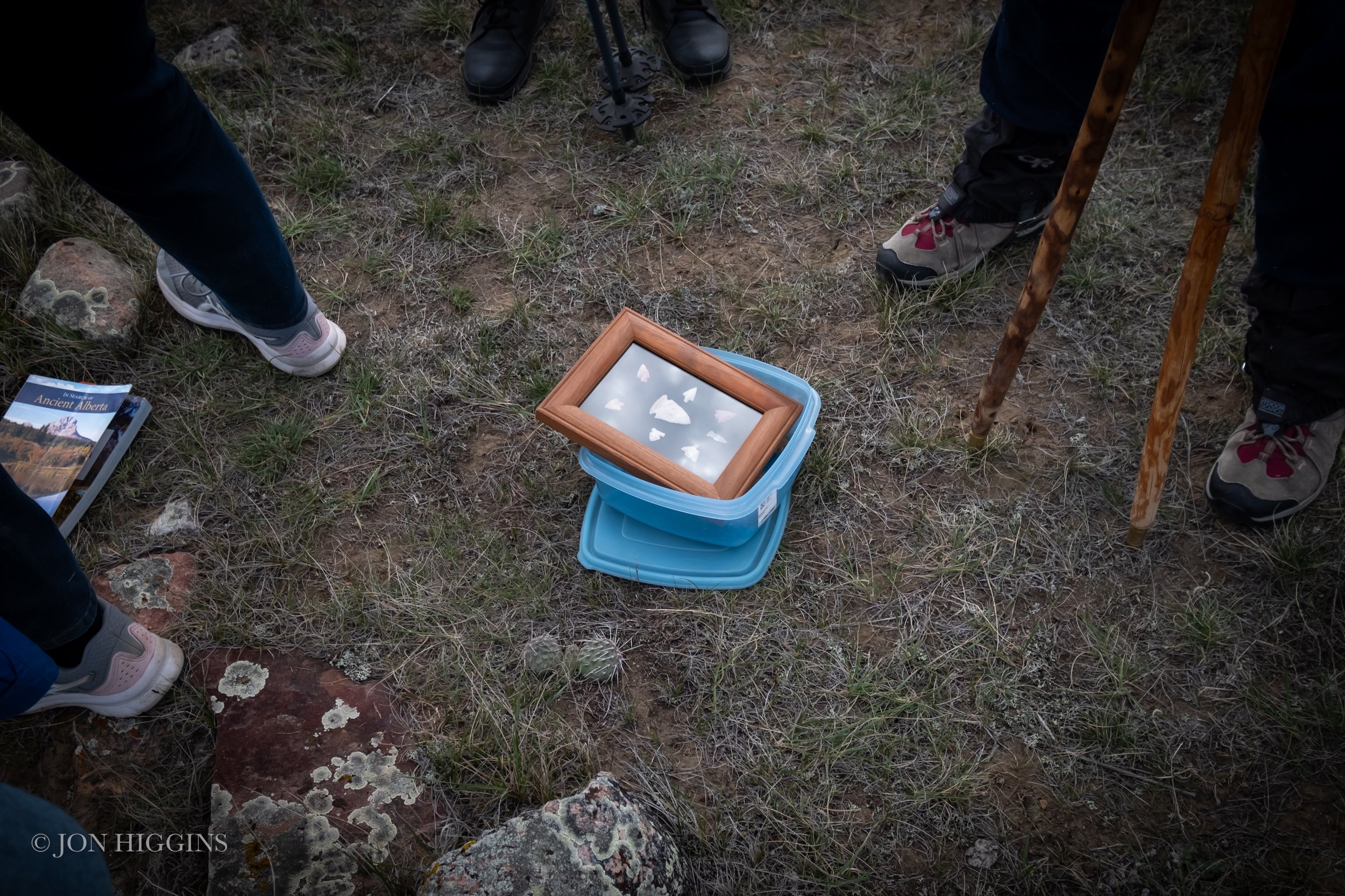
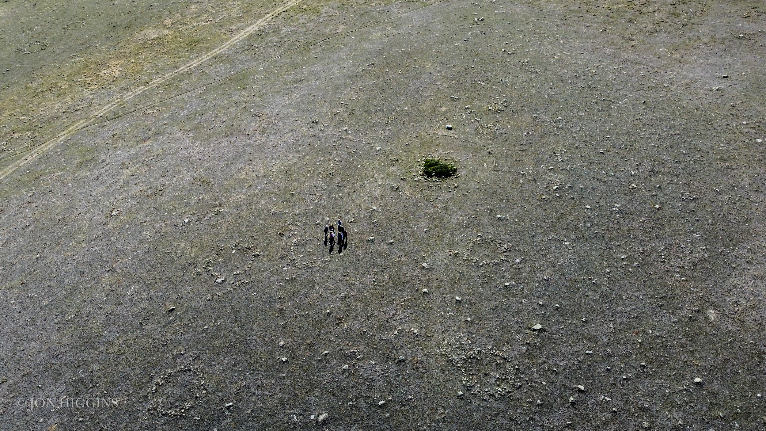
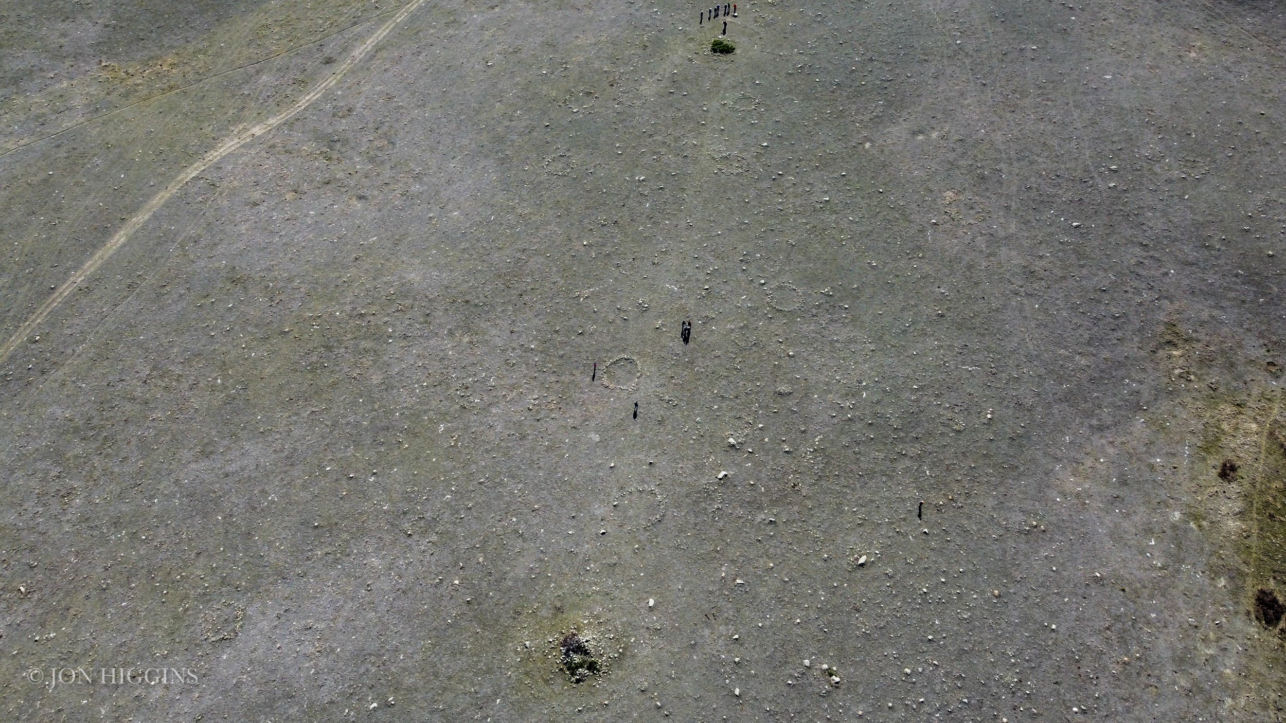
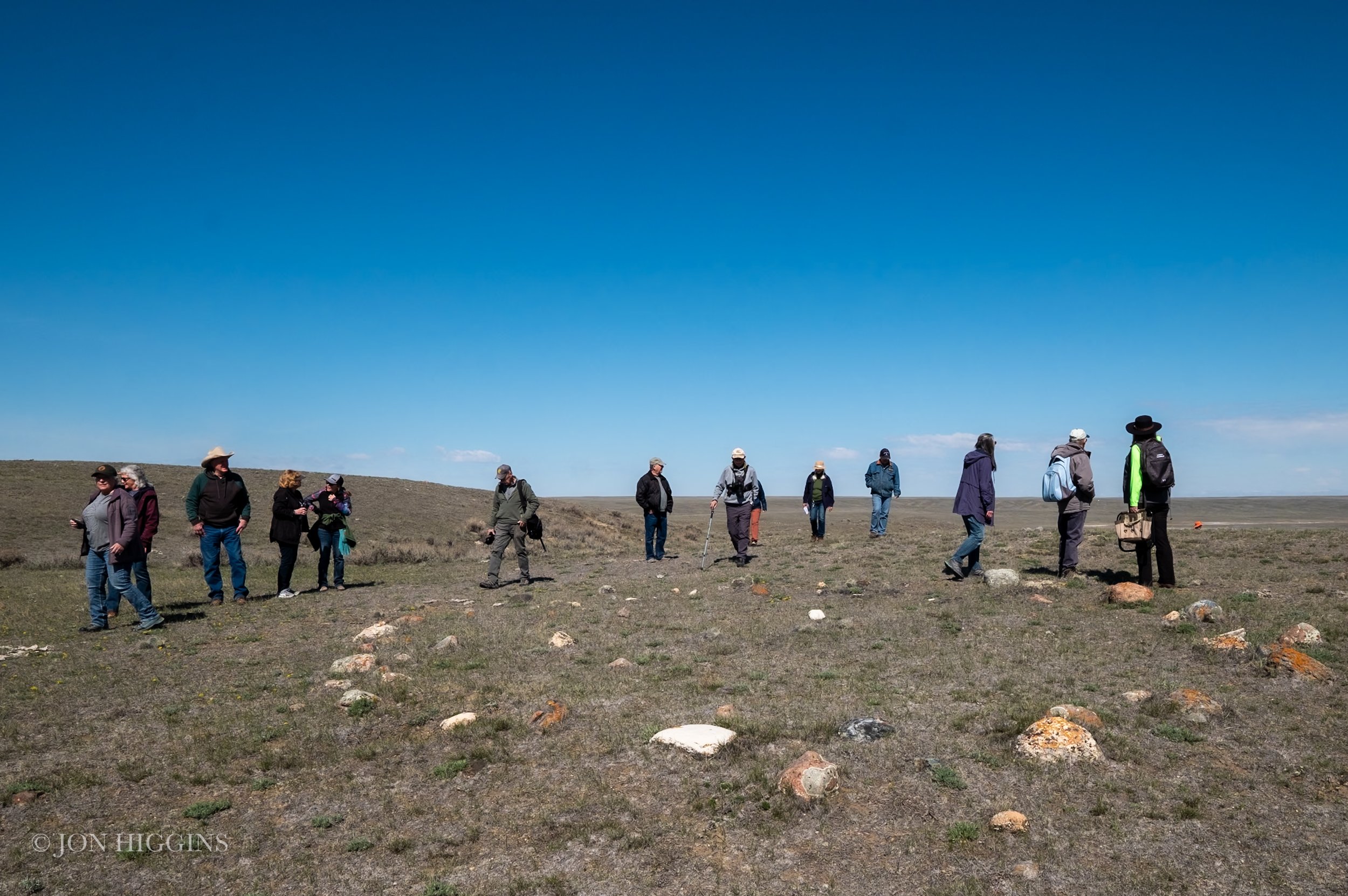
Here are photos from the Prince’s Springs Special Areas #2, Remount Community Pasture archaeological site.
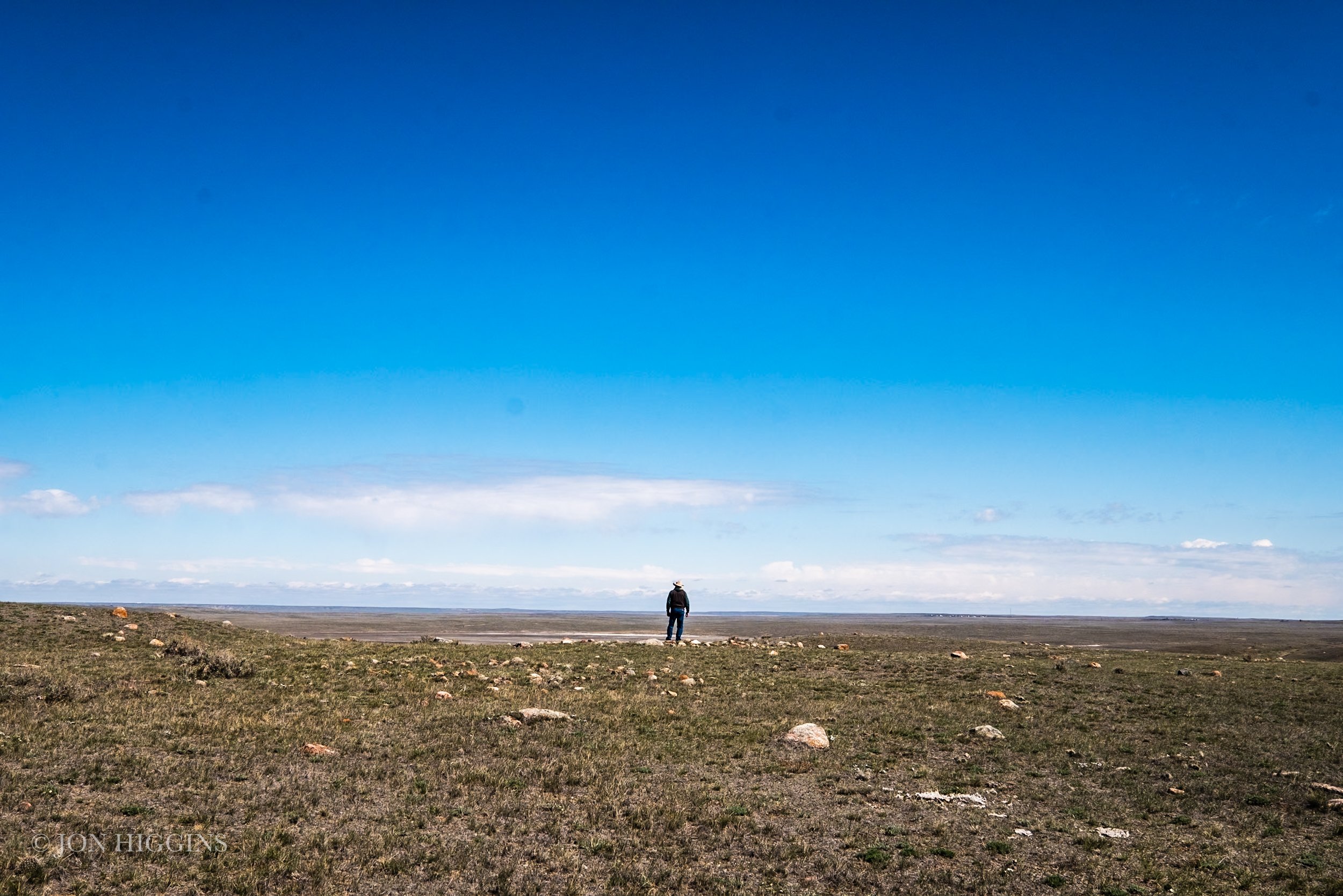
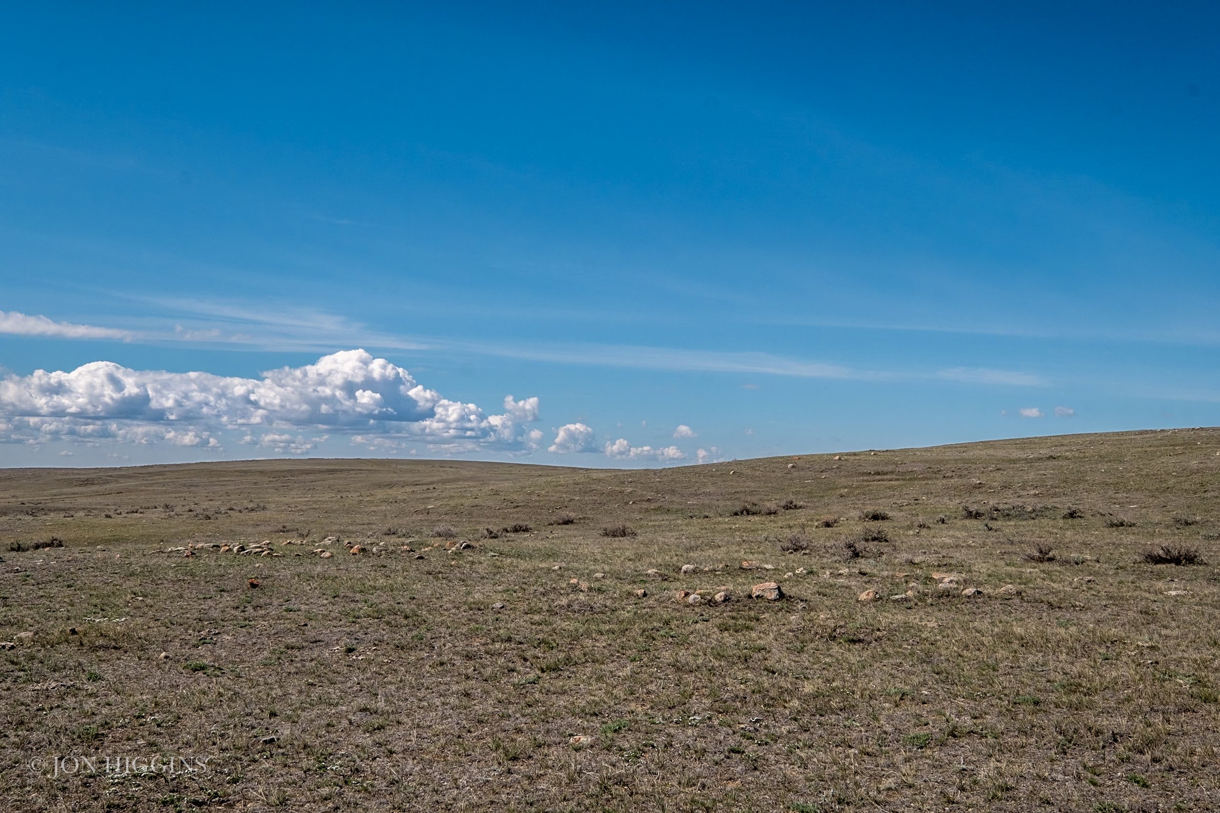
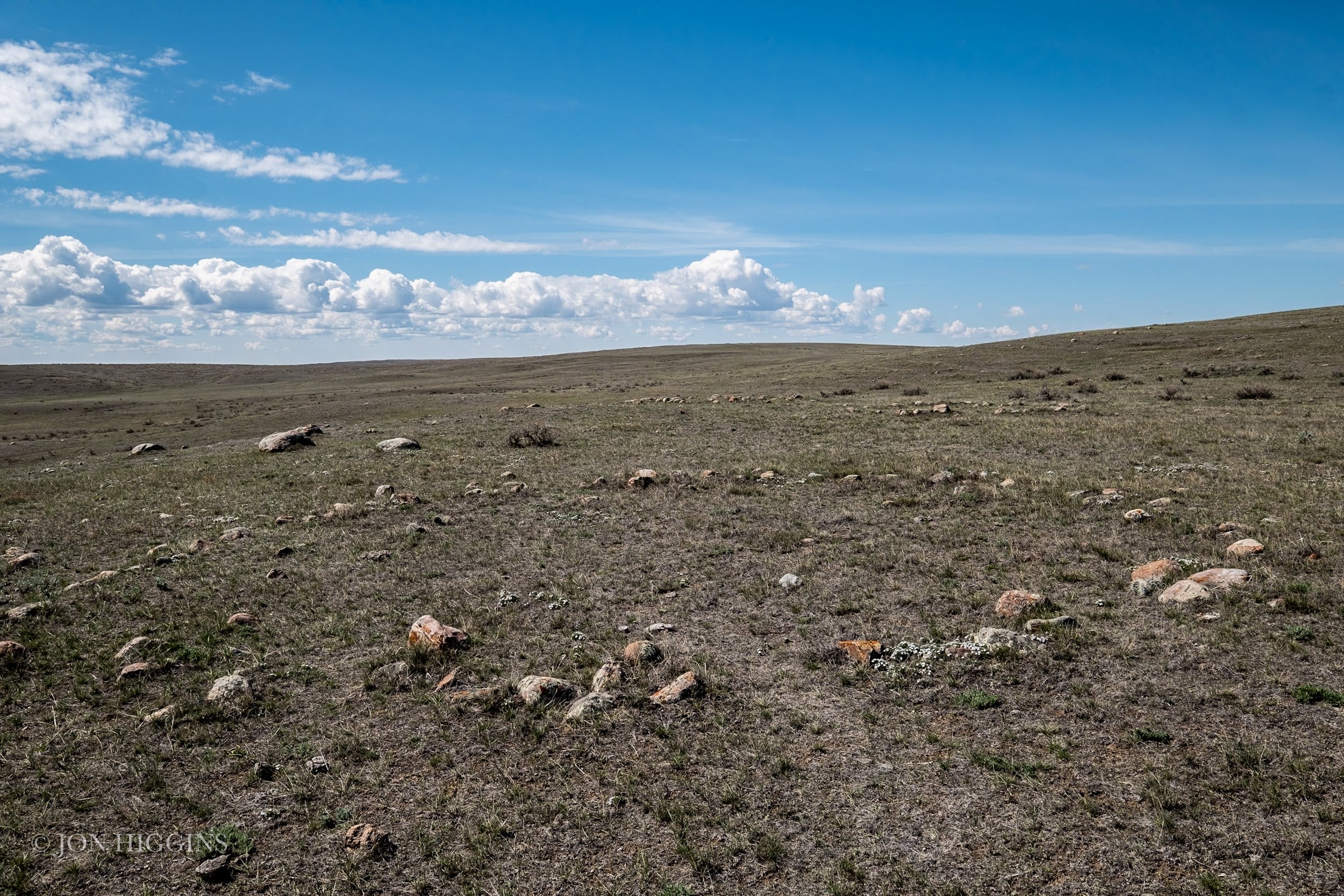
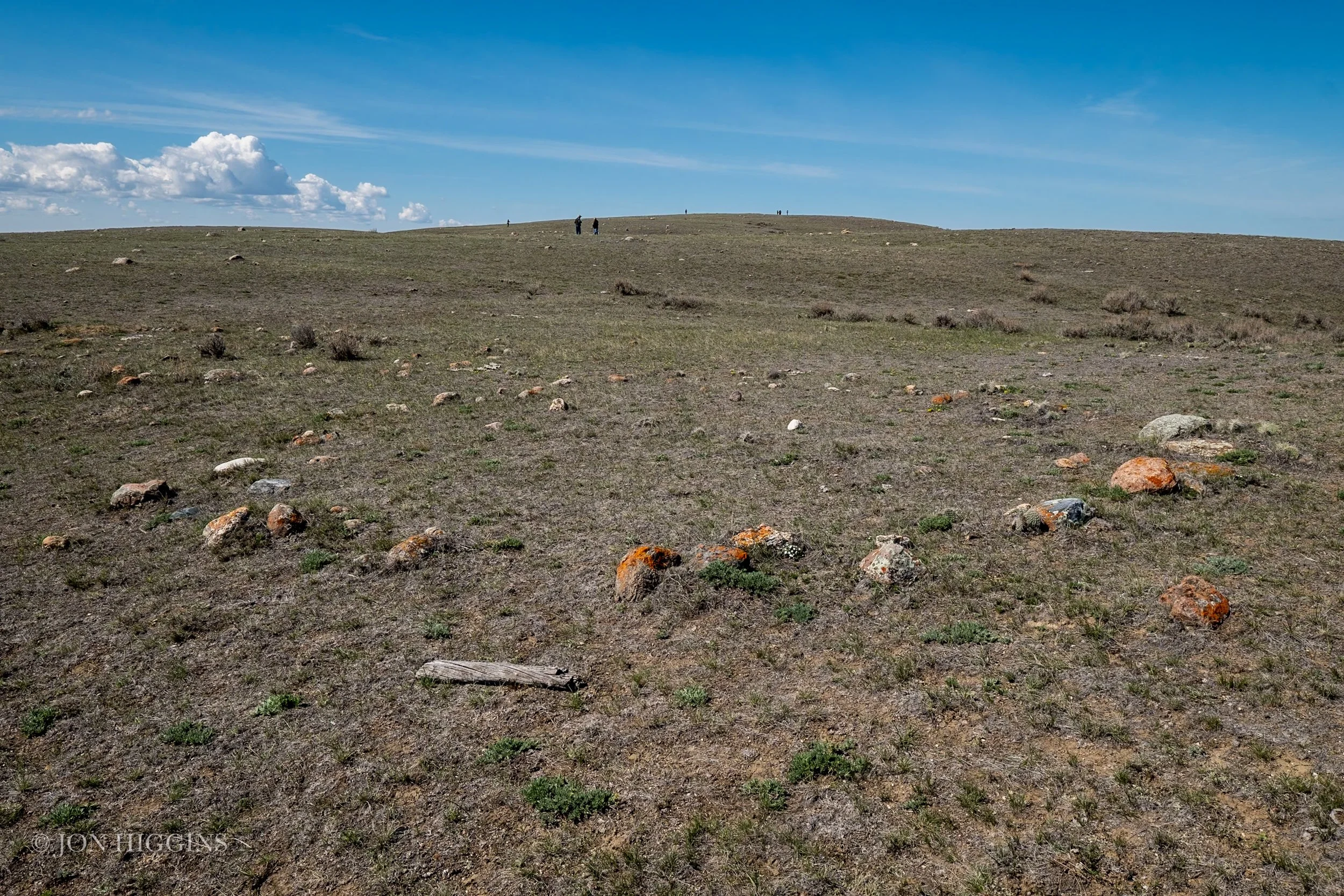
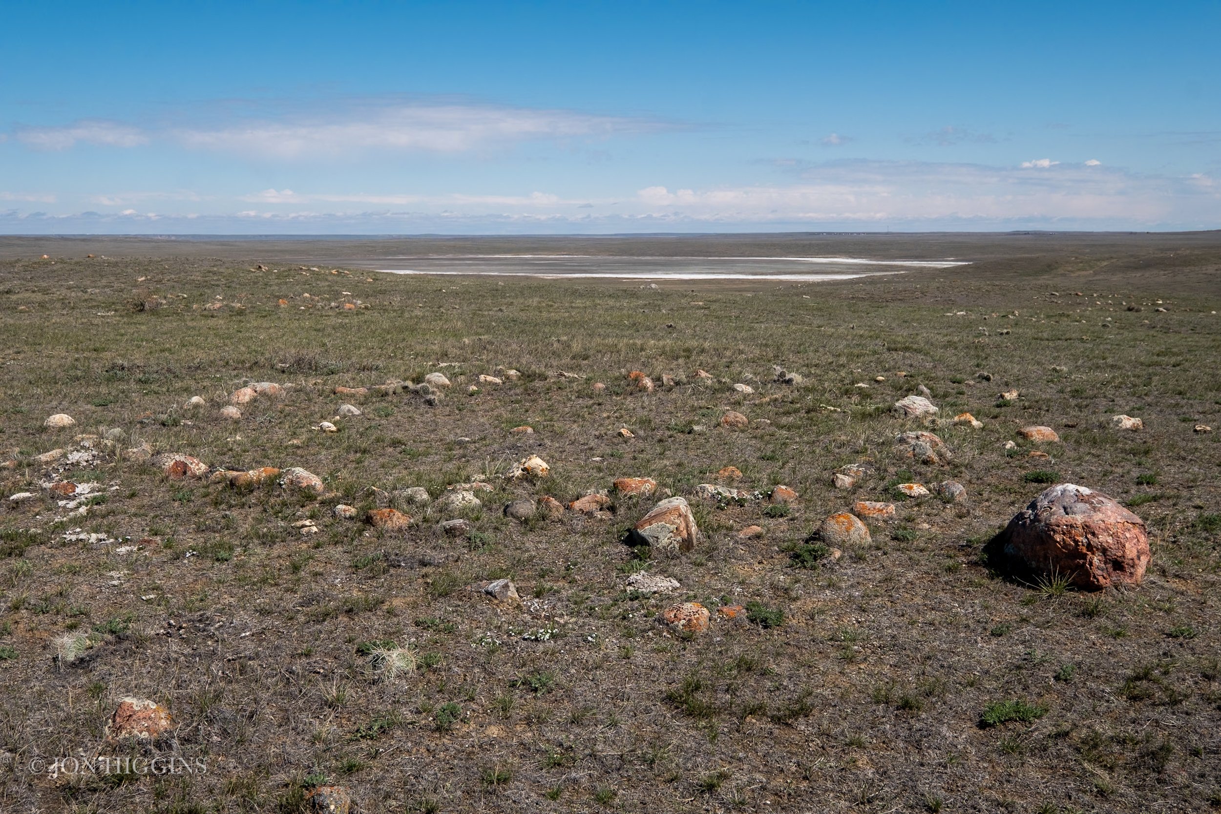
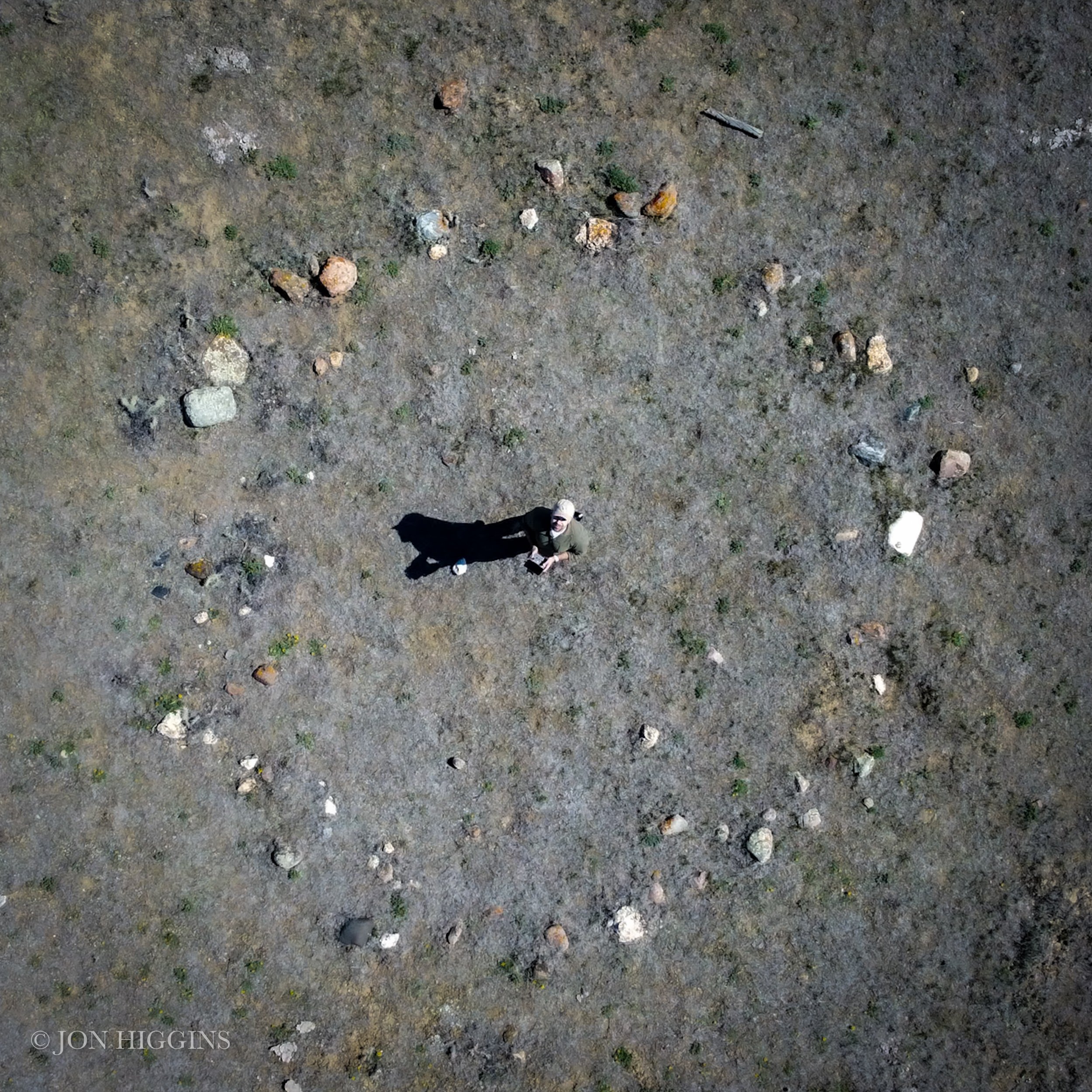
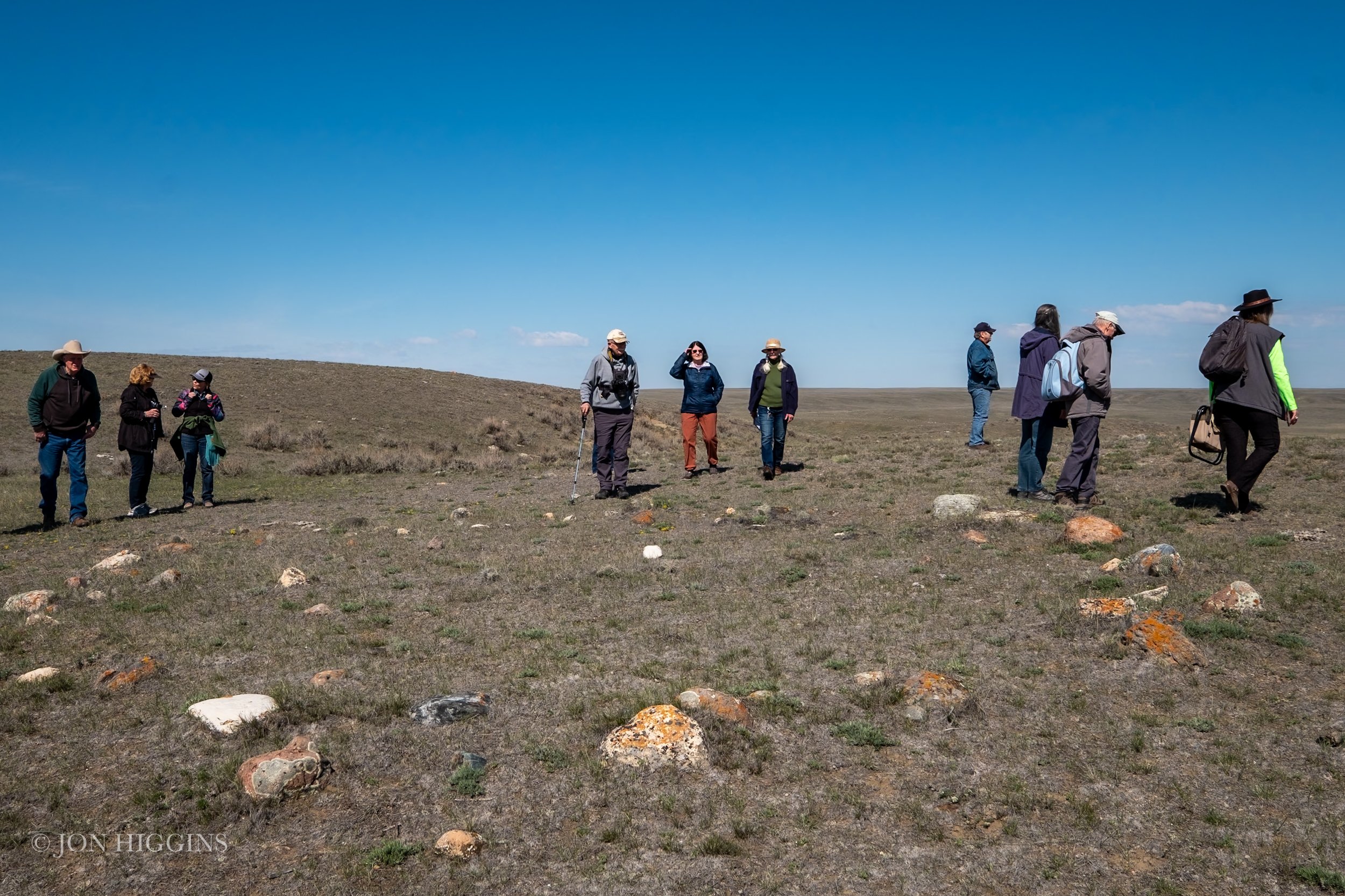
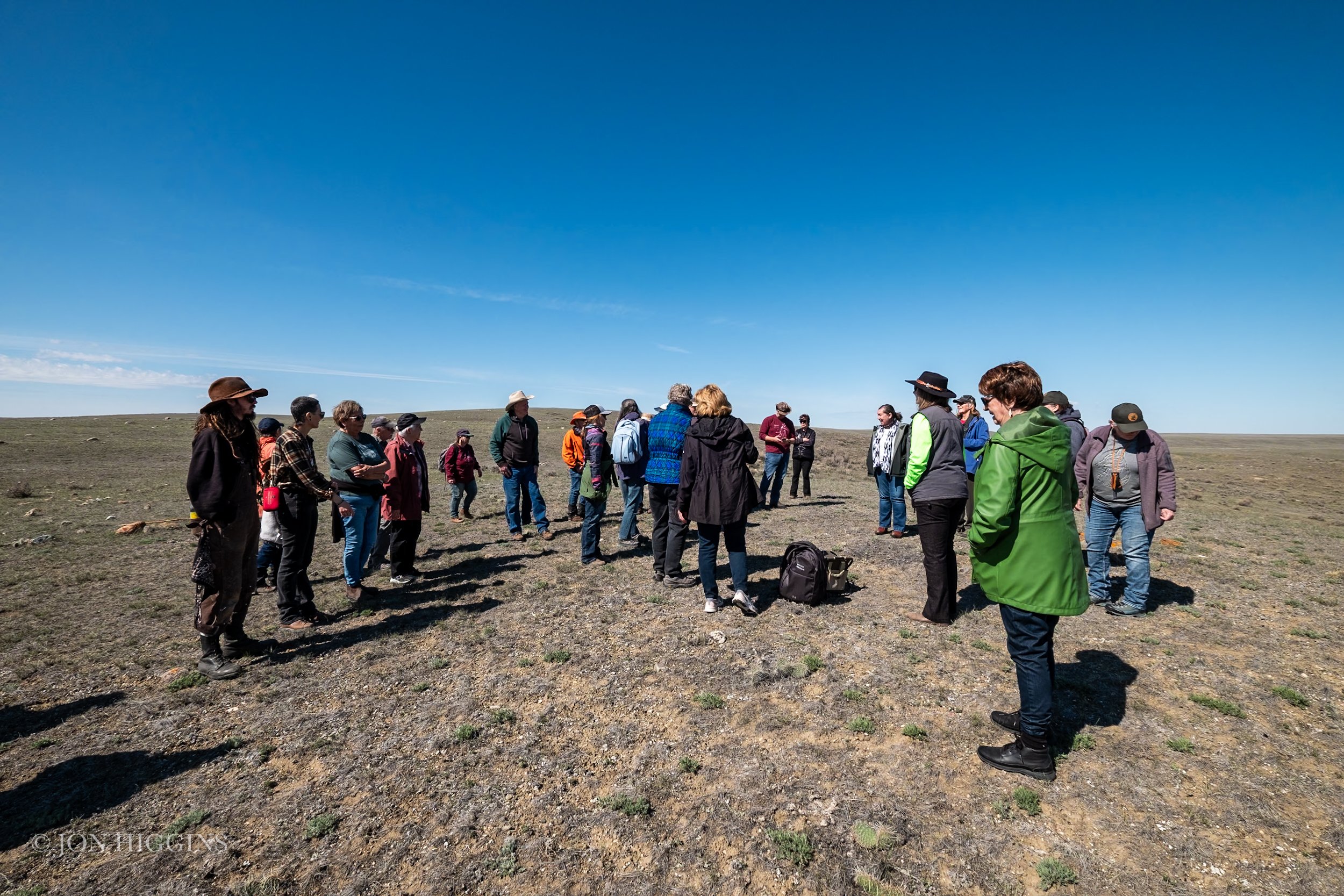
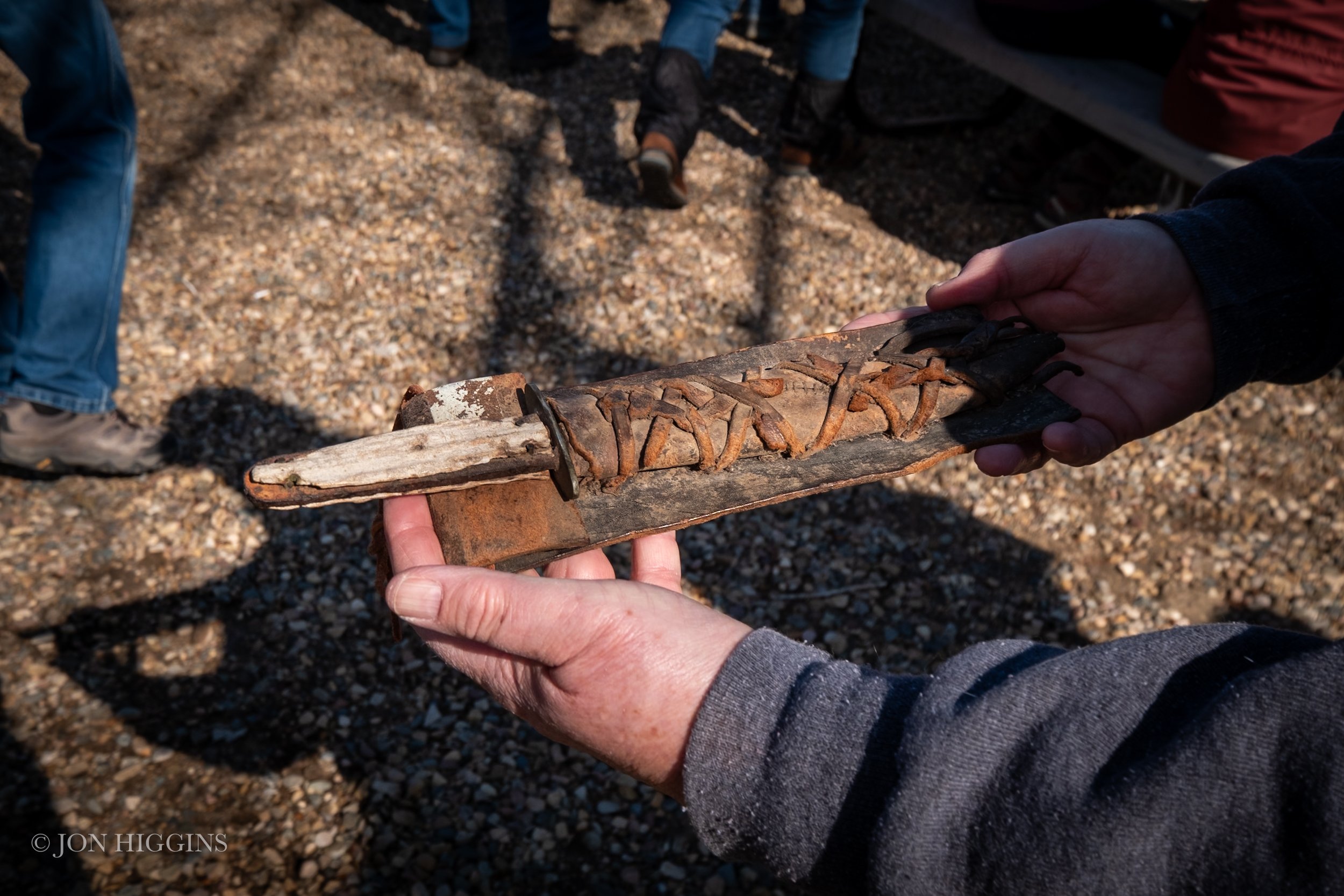
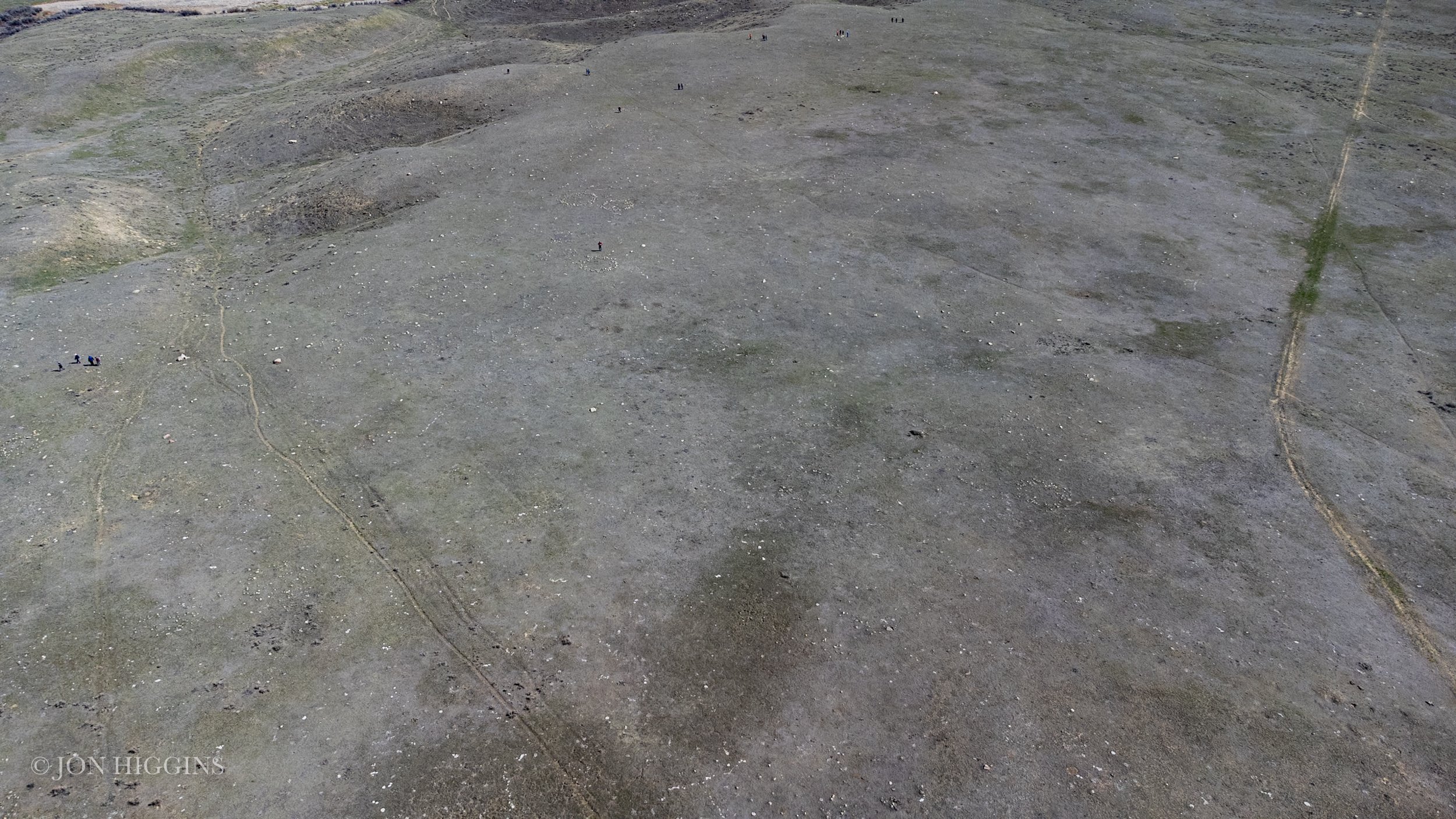
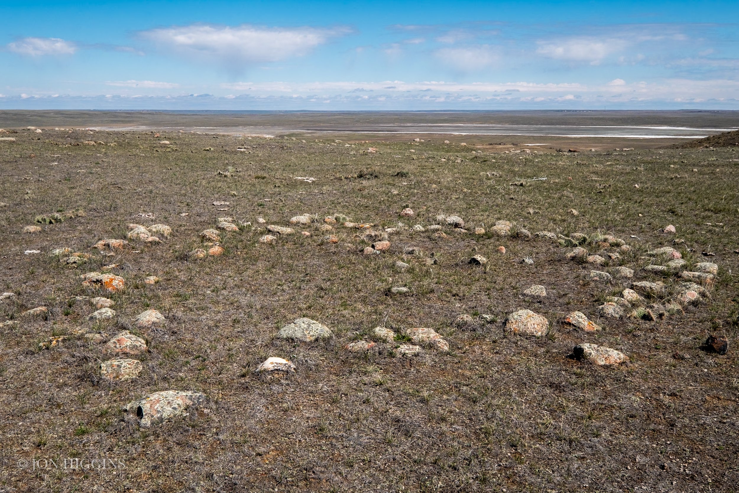
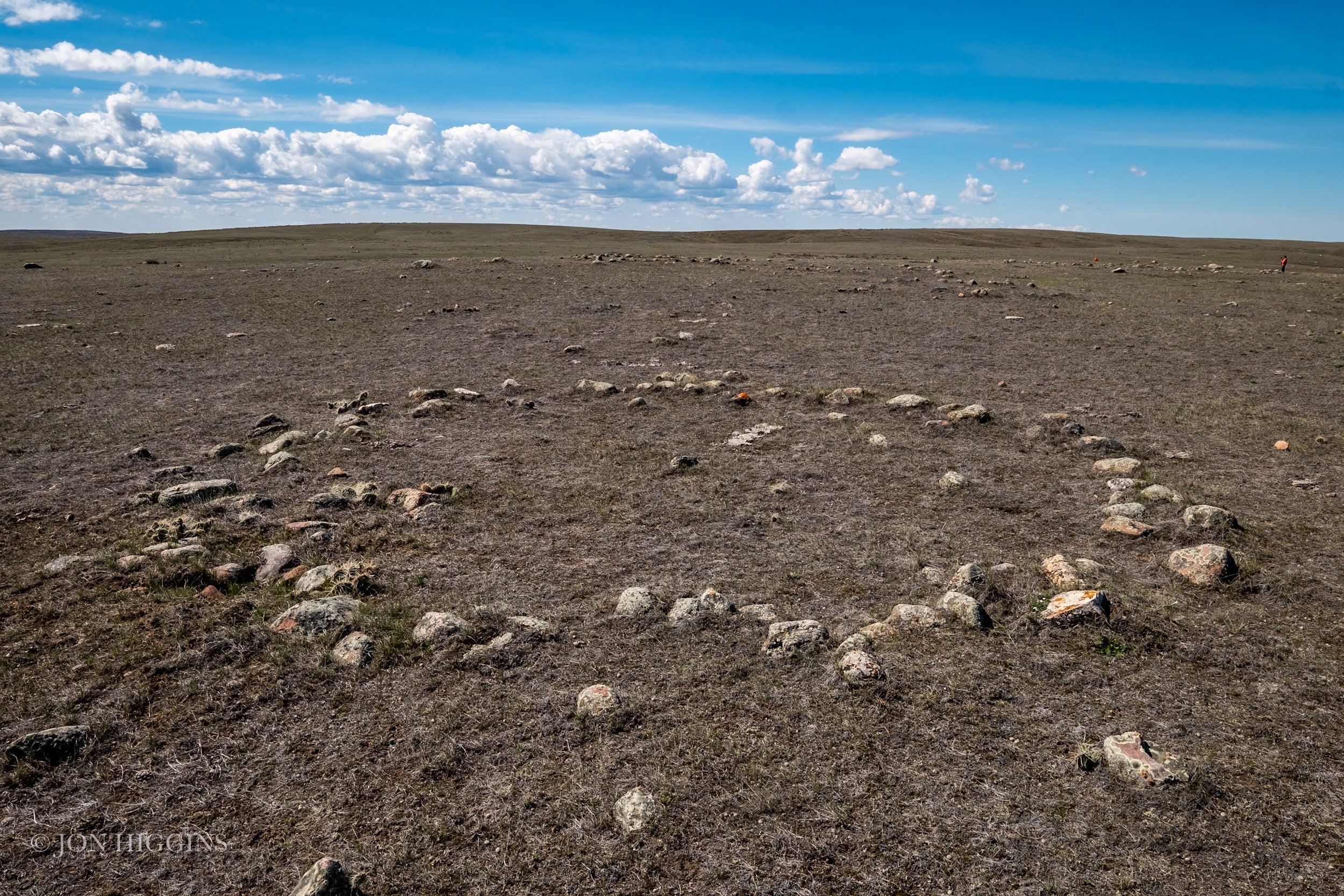
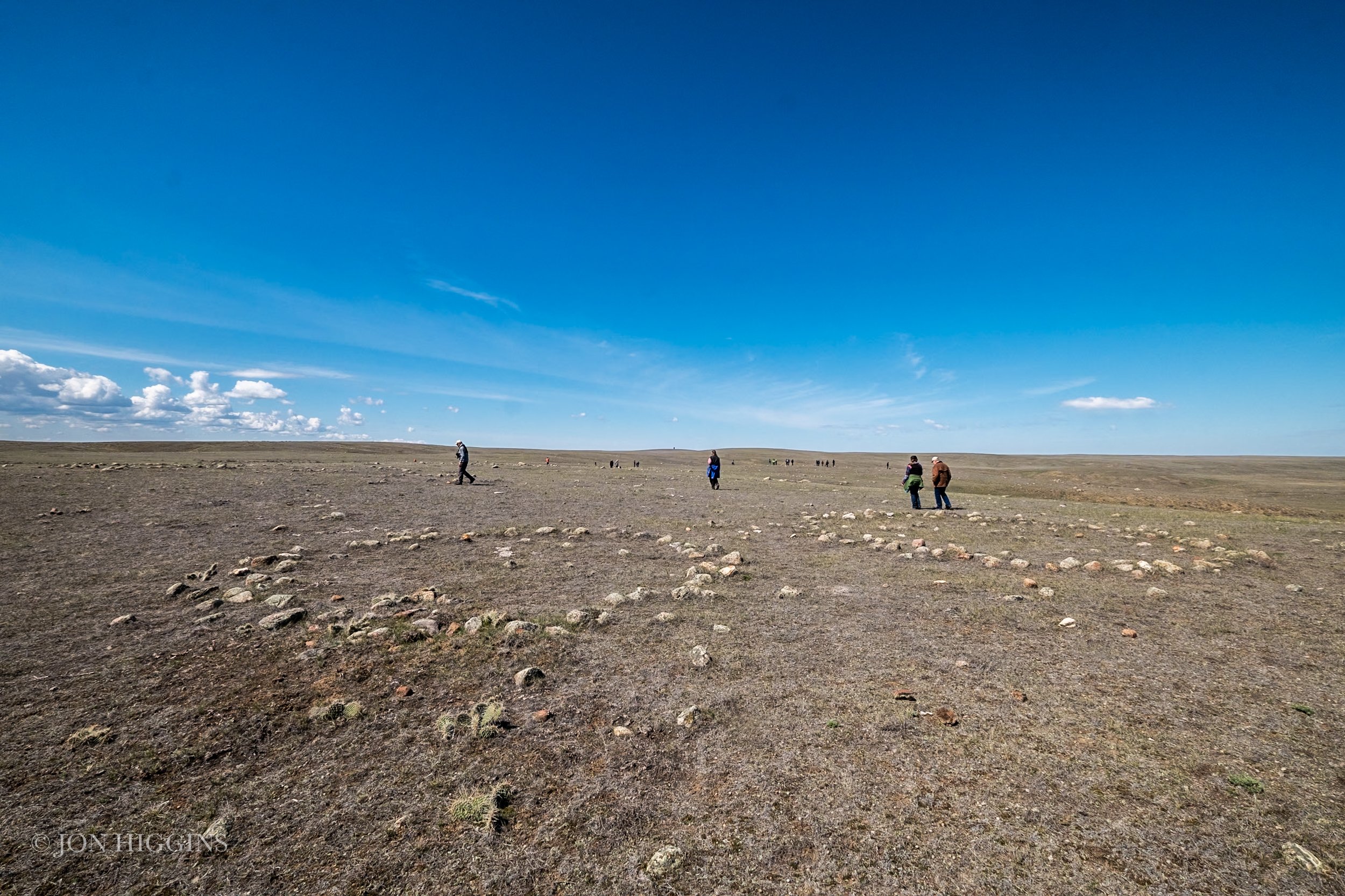
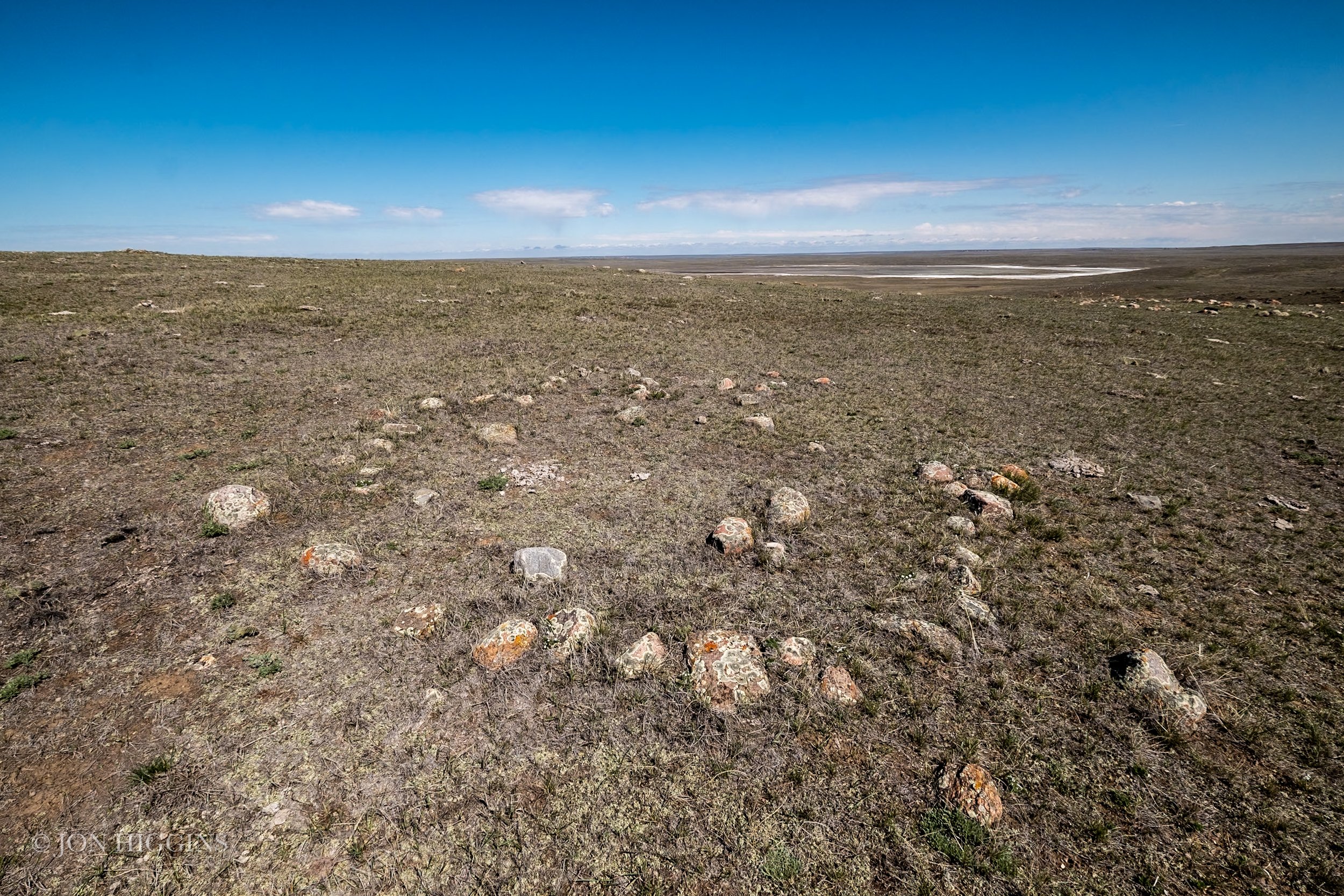
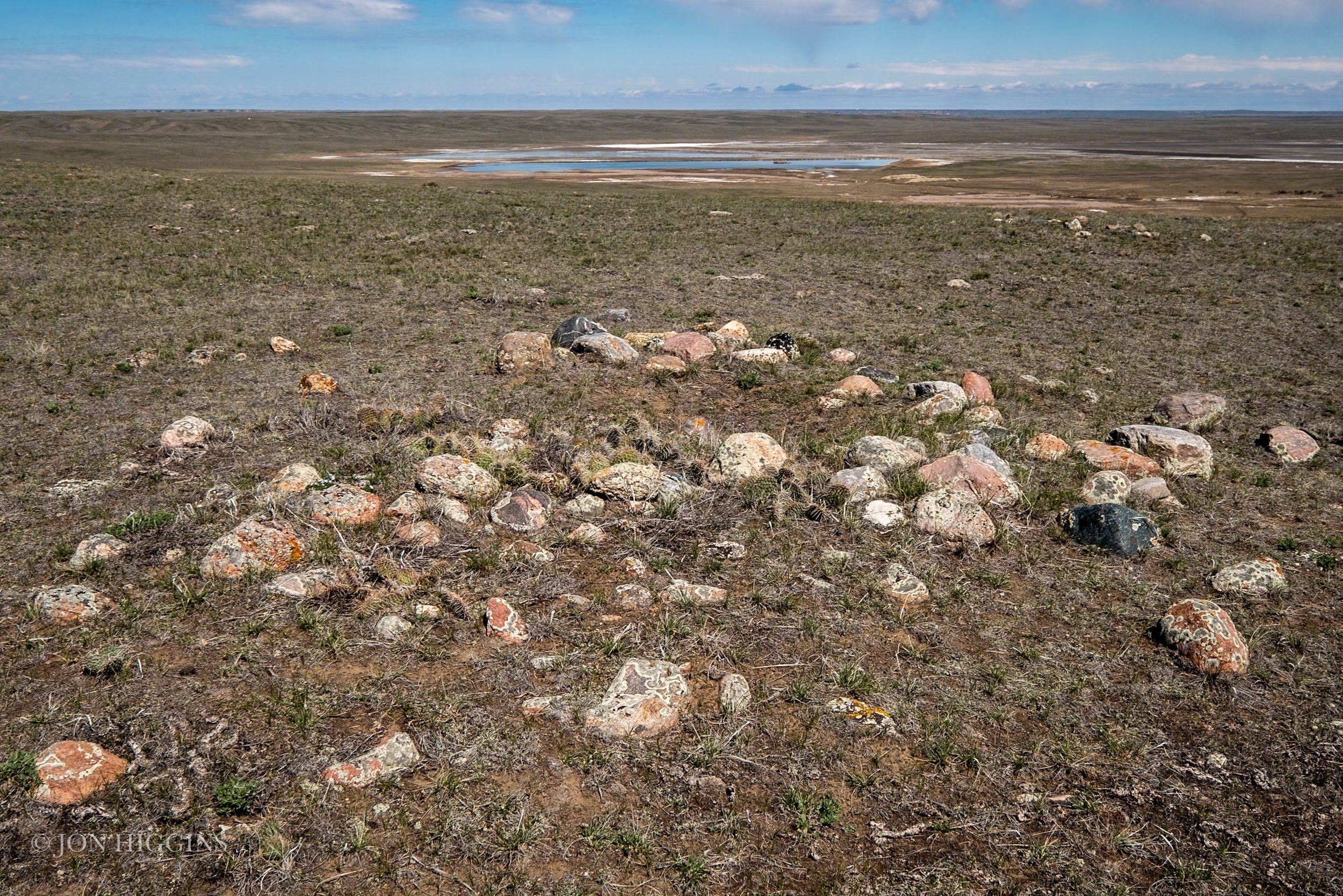
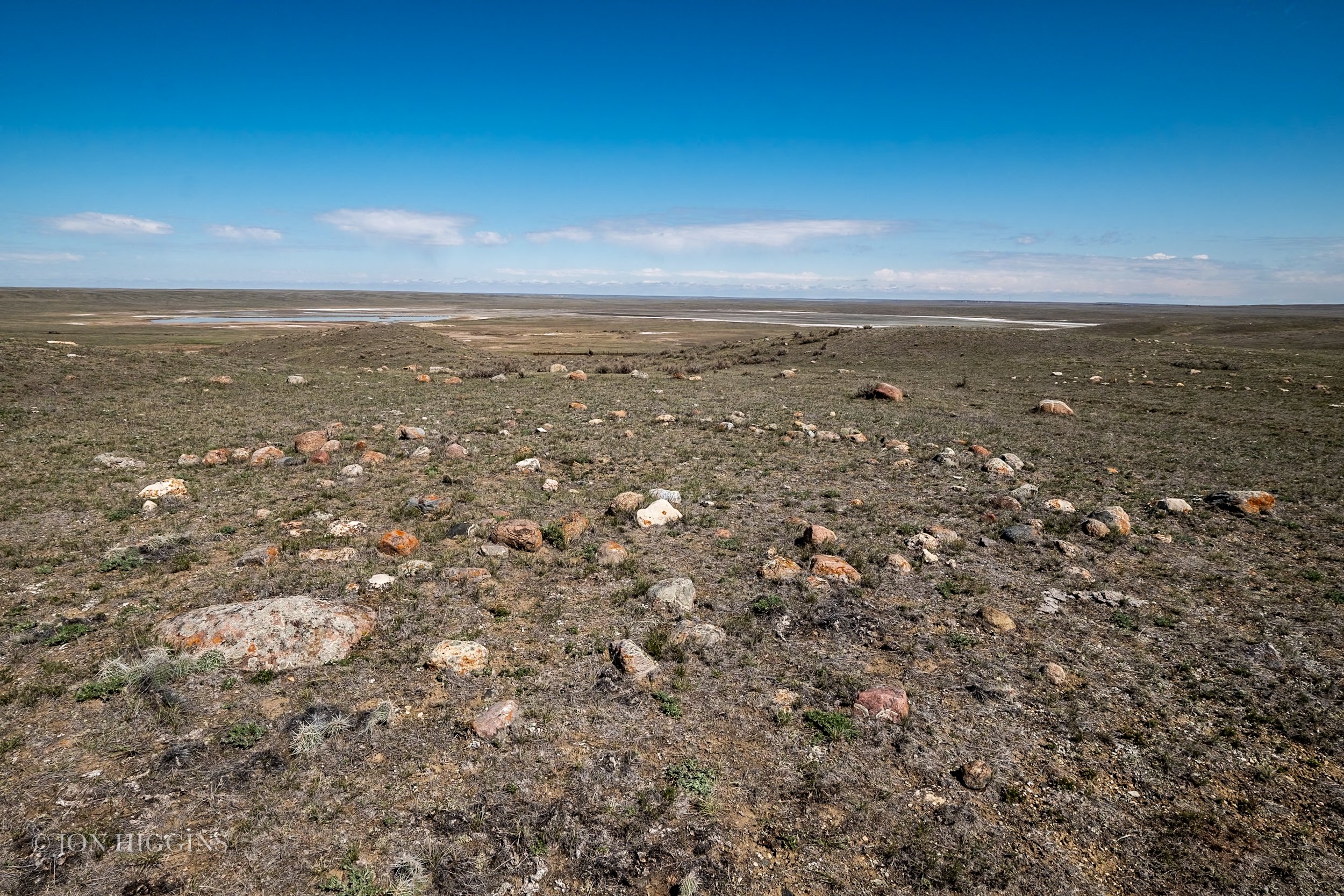
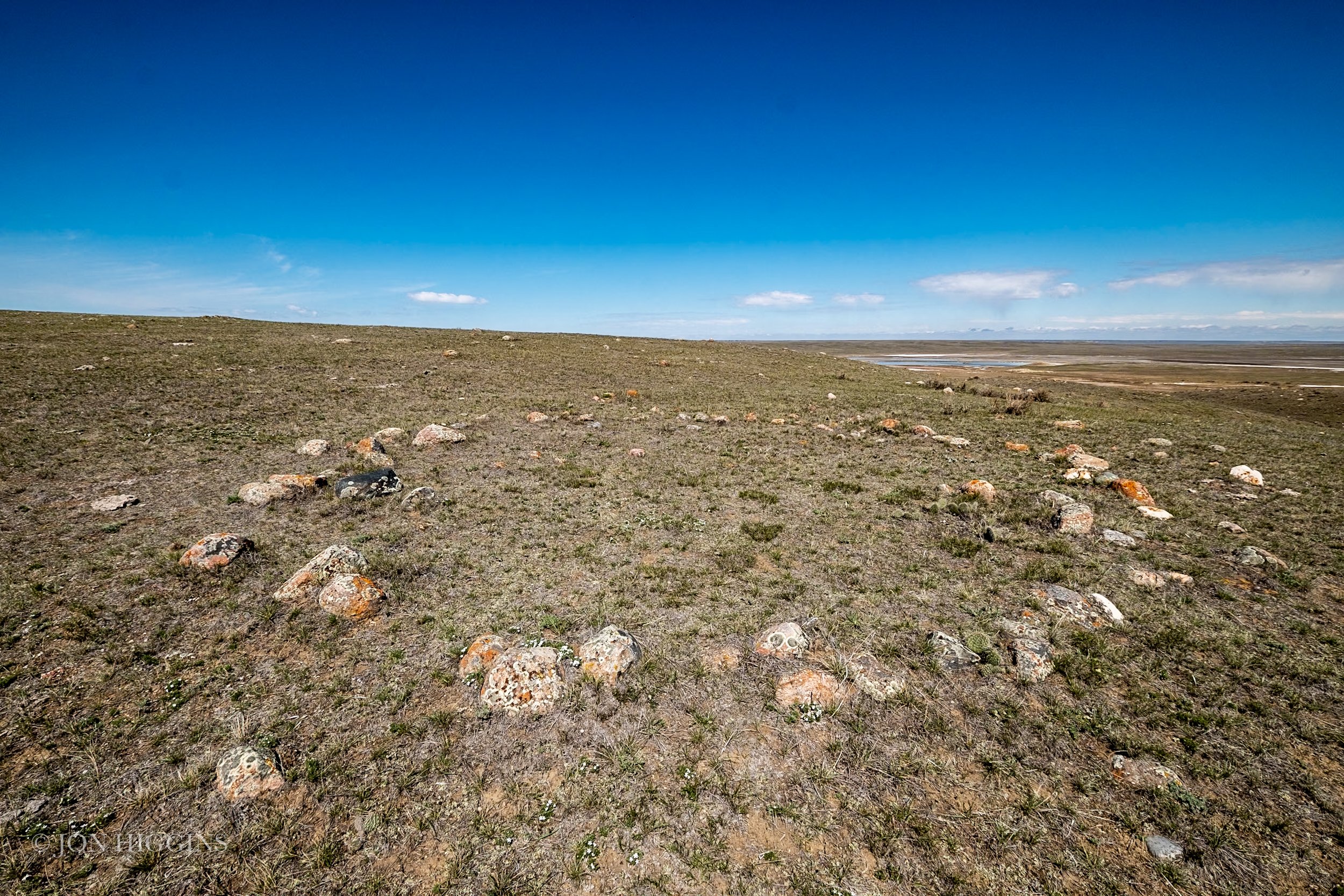
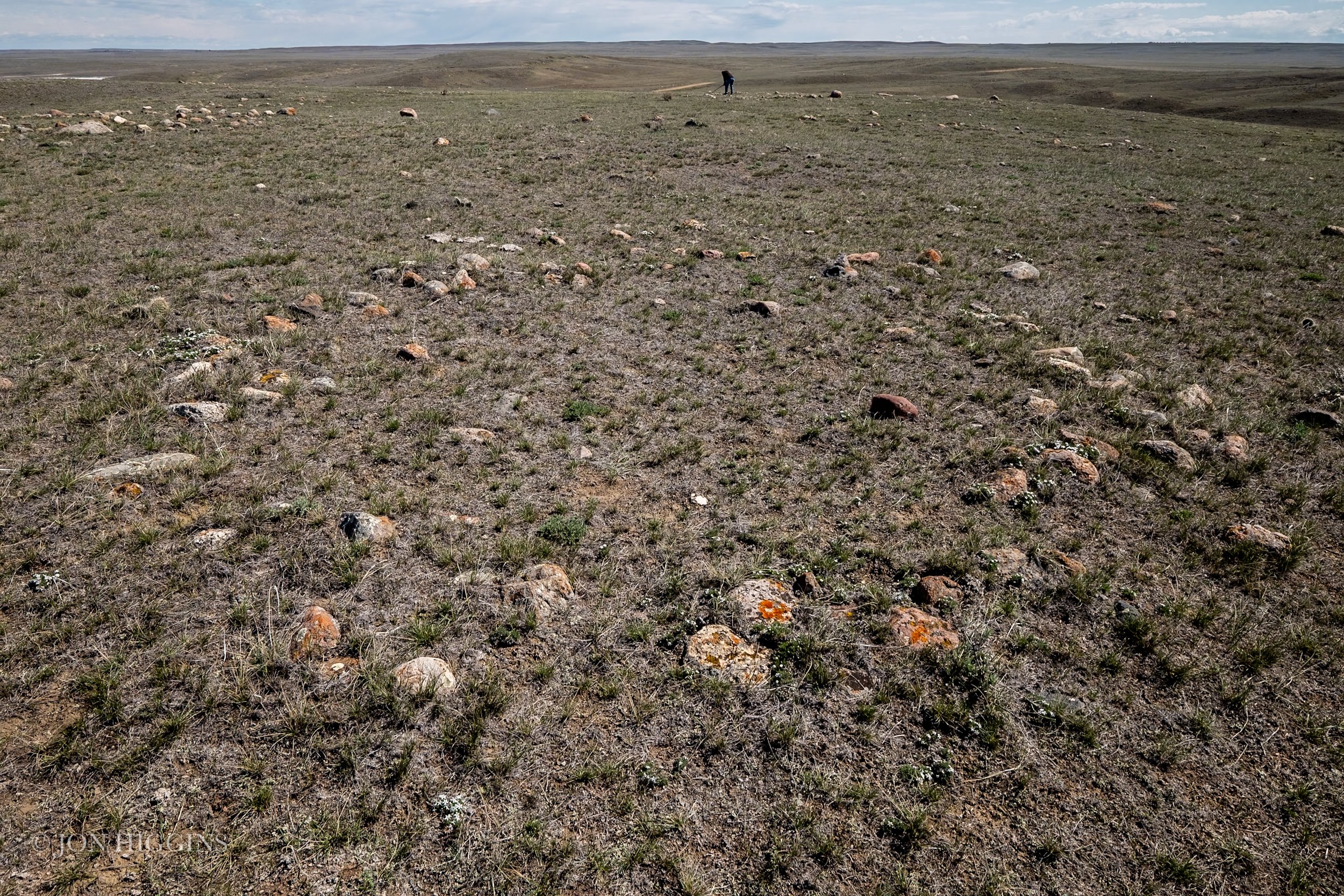
Here are photos from Bar Diamond Ranch archaeological site where Minor I, II, and II Medicine Wheel’s are located.